Distance: 2 miles from the trailhead to the 3 mile loop = 7 miles (count the two mile segment as four, since you’ll be running it back from the loop)
NPS’ Difficulty Rating: Strenuous
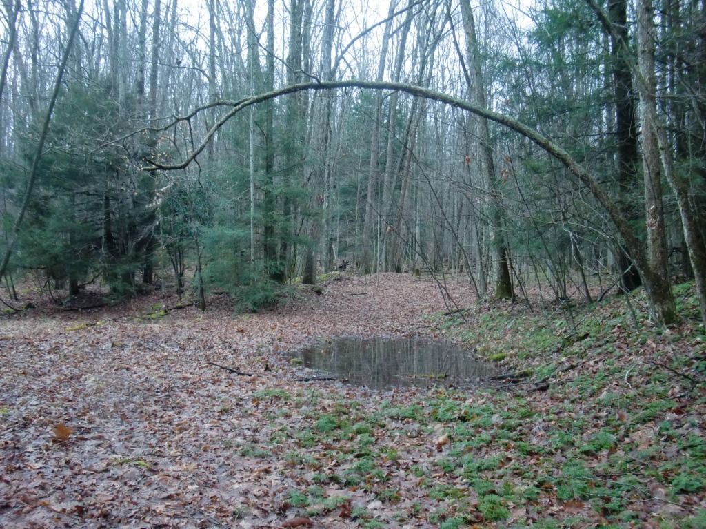
Kates Plateau is always wet.
Especially in late January; especially this January when it was too warm for the water to freeze. Still, I can't remember running at Kates Plateau and not encountering sogginess and muddiness. Even if the trail itself wasn't running near wetlands, you'll probably get wet crossing the creek to get to the beginning of the trail, which brings me to an important point: for anyone who's never driven out to this area, finding and accessing the trail may turn out to be just about as much of an adventure as actually running on it. All of these factors probably contribute to whatever it is that makes it one of my favorite runs. I don't find many hikers or runners out there. Actually, come to think of it, I can't remember coming across any people actually on Kates Plateau Trail. Plenty of fisherman at the river you cross before you get to the trail, but nobody actually on it. That's not to say nobody ever goes there. I'm just saying I've never been running it at the same time anyone else was running or hiking.
Because of the lack of clear signs, I've already written some driving directions to Kates Plateau. In case you're trying to get to what I call the "backside" of Glade Creek Trail, these directions also apply, since the trails share the same trailhead. If you need these directions, you can find them here.
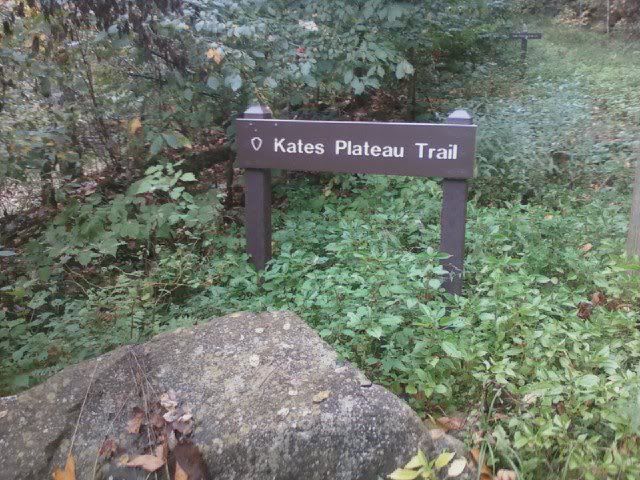
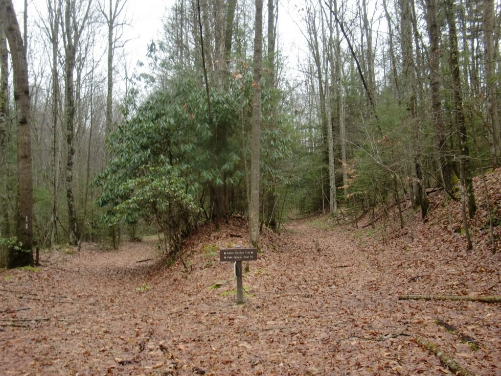
So, I'm assuming that you've parked and crossed all necessary water to get to the trailhead, where you will see the back end of Glade Creek Trail (Kates Falls are about a mile down that trail from here) and the beginning of Kates Plateau Trail.
 |
| Glade Creek Trail on the left, Kates Plateau Trail (up the hill!) on the right. |
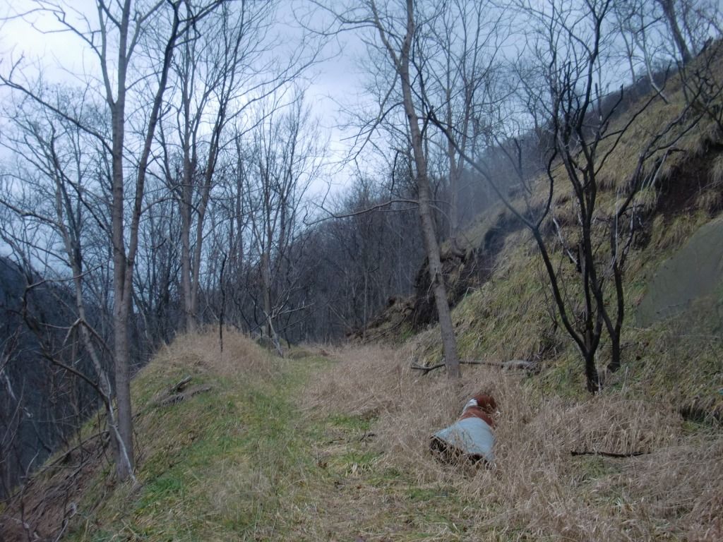
The trail starts off fairly wide, on a gradual incline. The trail does get narrowed down pretty soon into the trail, as you follow the edge of an open, grassy hill overlooking Glade Creek on your left and I-64 high above you. Watch your footing, especially looking out for erosion from runoff intersecting the trail.
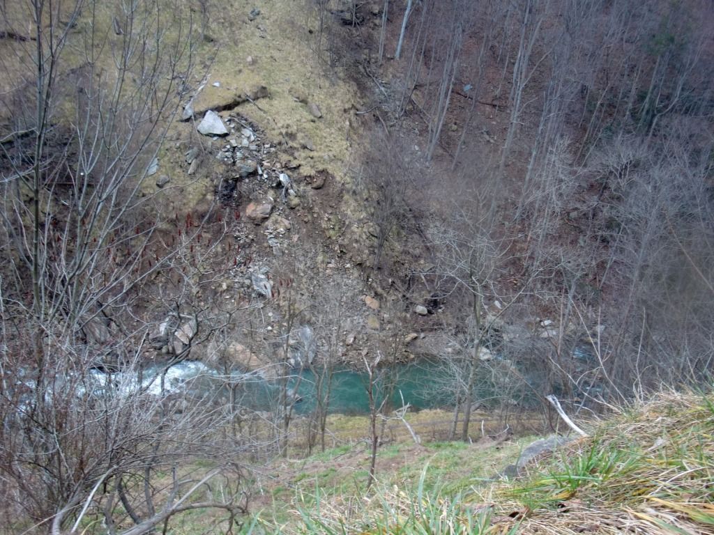 |
| Pretty view of Glade Creek below you, on your left. |
The gradient will remain a generally gradual but steady incline until you get closer to end of the first mile and a half or so. You'll come to a crossing of Kates Branch.
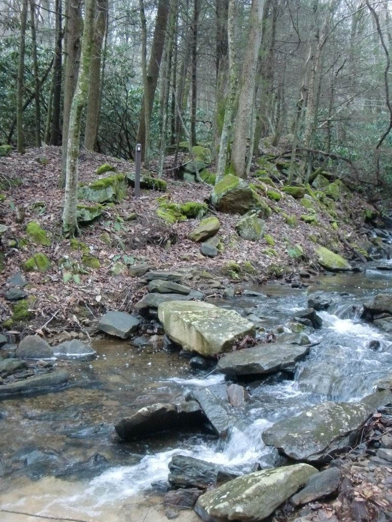
The trail follows for a short while along the top of this little ridge on the other side of Kates Branch. Follow the arrows and the trail (which is very rocky). This won't take long, and you'll soon again be back on the wide, main path.
 |
| Come off that hill next to Kates Branch, hang a left, and... |
 |
| ...you should be looking at a path like this. |
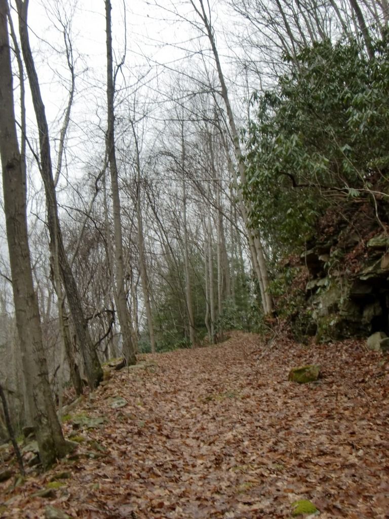
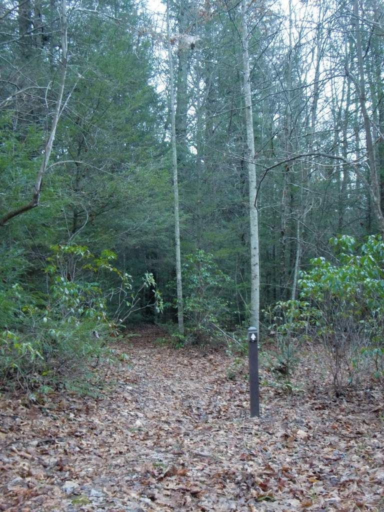
Soon, you should be pretty close to where the loop starts--this loop is almost right at two miles from the trailhead. The loop is around three miles, so doing the loop once and running back down the trail you came from will be a 7-mile run. I usually run the loop twice to make it a good 10-miler. Also, I recommend running the loop both ways (after the first time, turn around and run it the other direction) to avoid too much redundancy.
 |
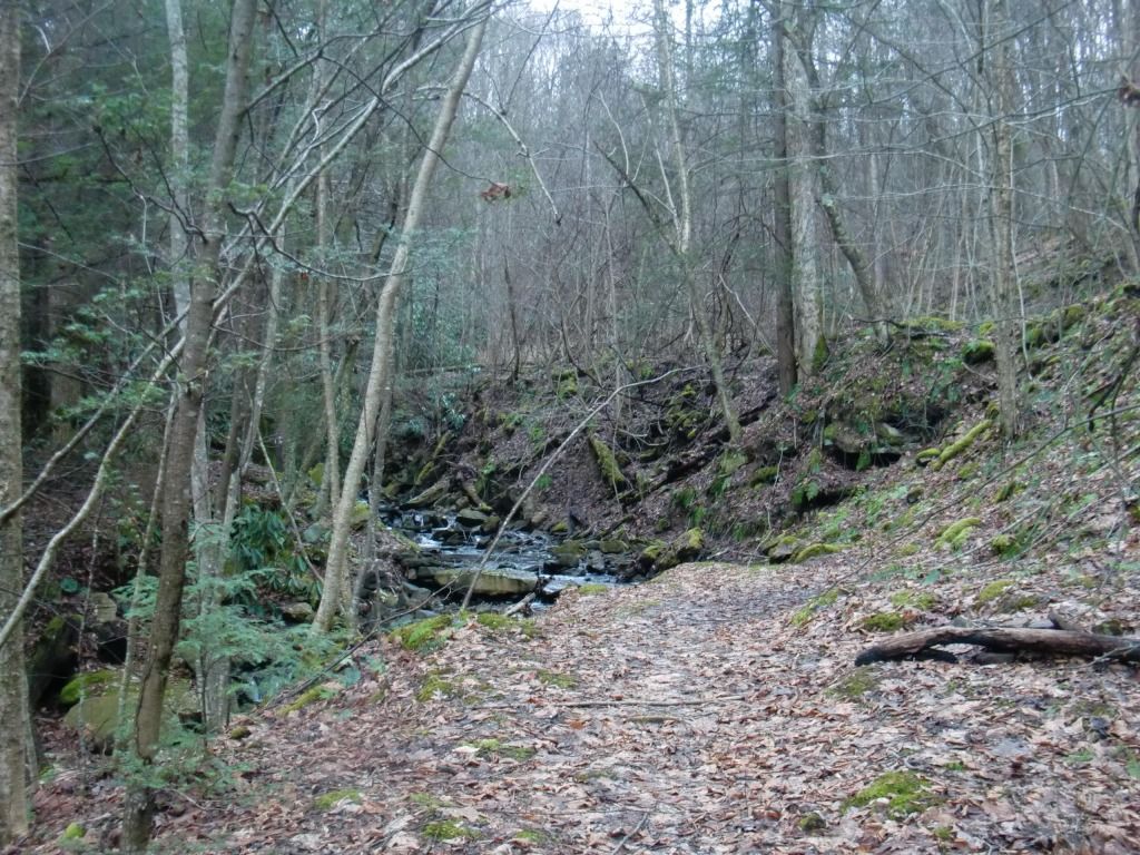
| Get a rest as the trail flattens out until you get to the loop. |
The hills on this loop are considerably steeper than anything that has been on the trail up to this point, and the trail narrows out, too. I think the steepest incline you'll go up is if you start the loop going right, which should take you into some hemlocks for a bit until the trail goes up to what is nearly the highest elevation you'll hit during the run.
 |
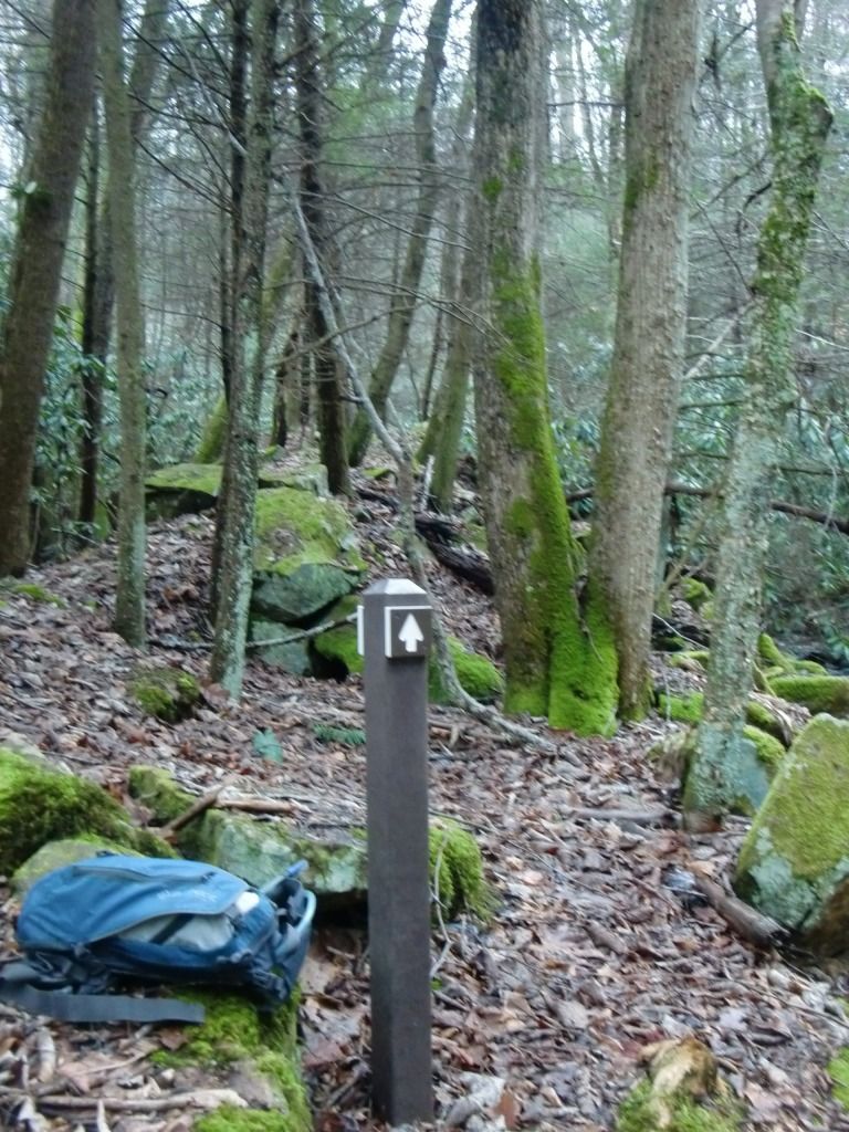
| These arrows are pretty handy on this trail. |
Another note about navigation up here--remember that steep hill you end up running up if you start the loop going right at the sign? Take a good look over your shoulder after you get to the top. If you'll notice, the trail looks like it could go a different way than the way you came from. It's harder to figure out which way to go if you're coming around the loop from the other direction and have never done it before.
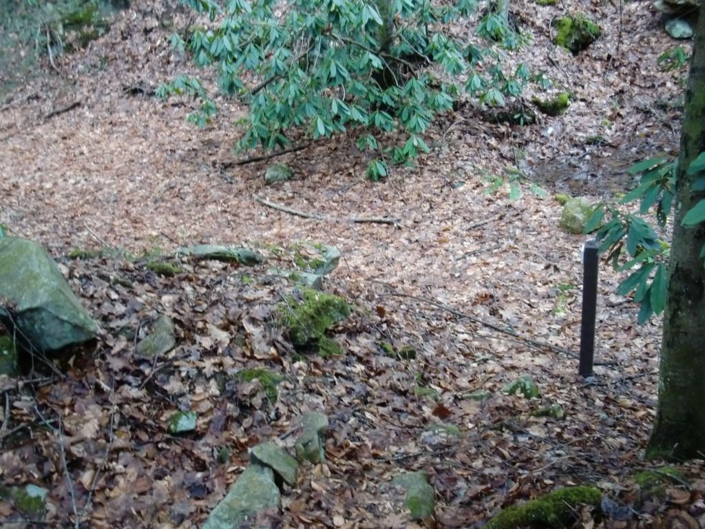
You'll cross the same set of power lines twice in two different places, since you're running in a circle. The first time you cross the lines (still assuming you're traveling the direction we established earlier), you're basically halfway back to the beginning of the loop.
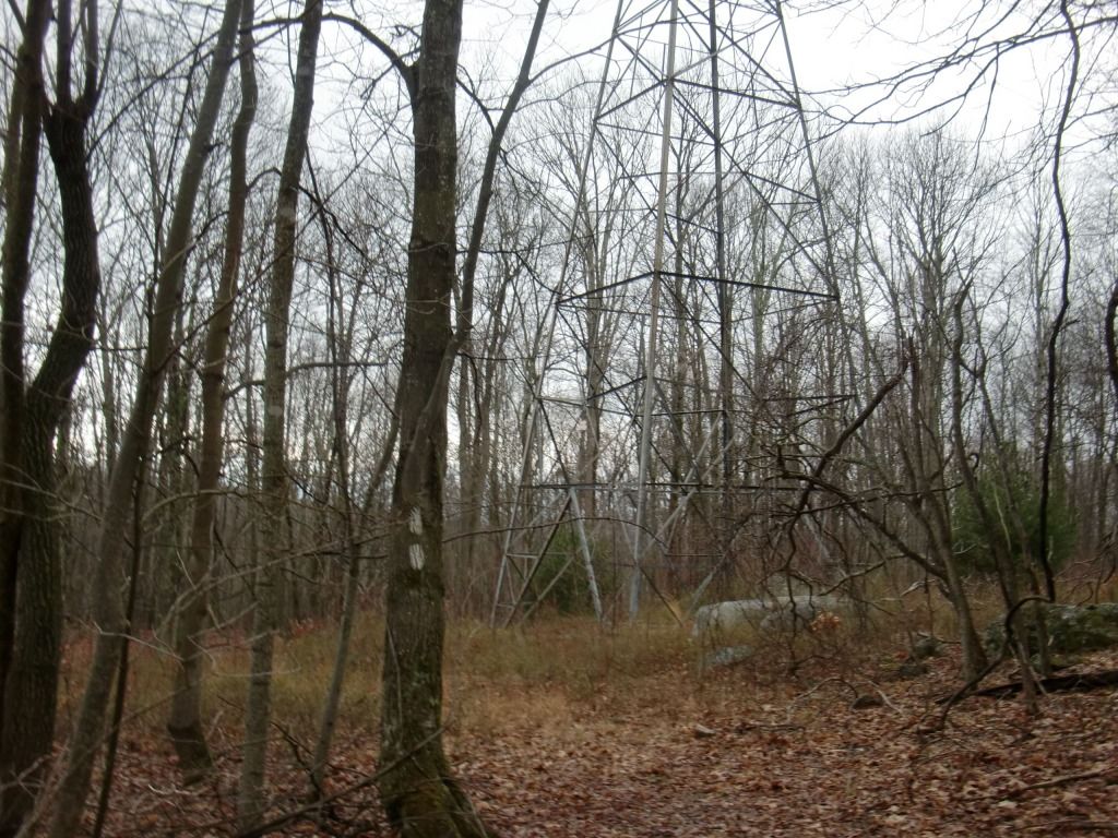
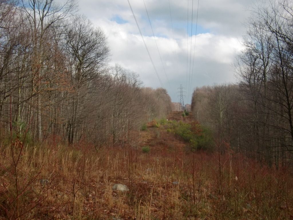 |
| I don't remember which way I was running or which locations of power lines are pictured here. But I'm pretty sure you'll recognize power lines when you see them, and you know you'll be crossing them twice. |
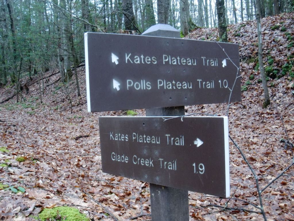
There's a dip in the topography between the first time you cross the lines and the second, and, before you reach the second crossing, you should end up at what is, according to my topo map, the highest point of the trail. Obviously, after that point, you'll be descending most of the way back. Past the power lines, it gets very steep coming back, so watch your speed, especially since this trail always has tons of trees and logs lying around to trip over. As you come running down the trail, you'll see this sign, which points you to Polls Plateau Trail on your right:
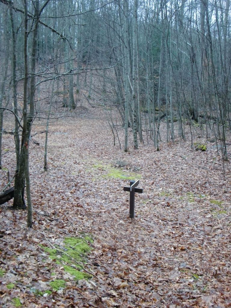
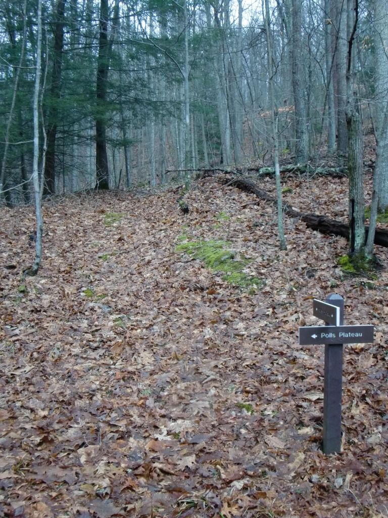 |
| Looking at the sign from the other direction |
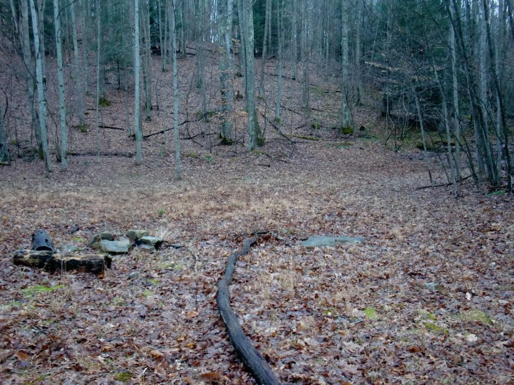 |
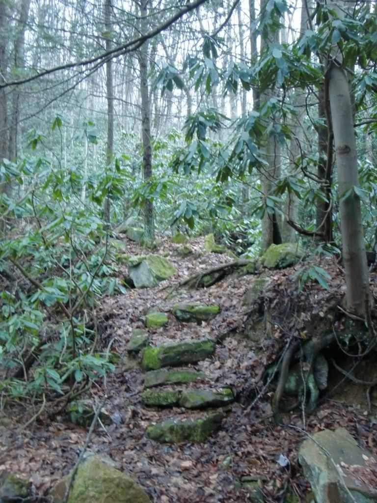
| There's a pretty open spot with a pile of rocks (was it a fire ring?) directly after the sign. |
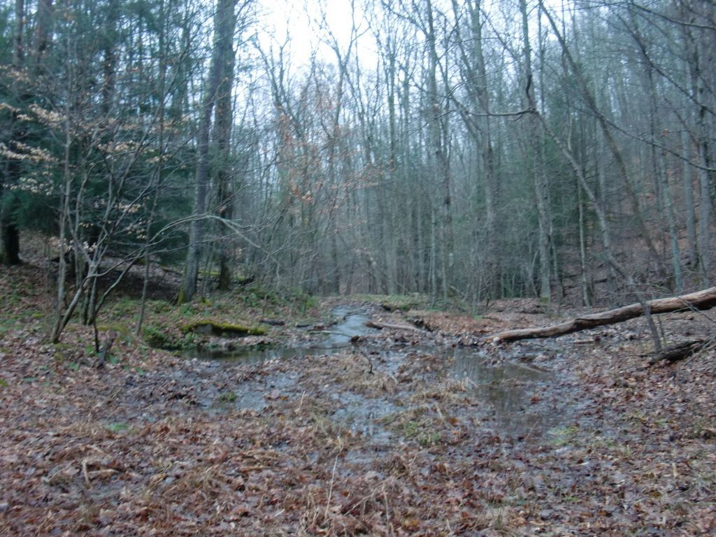 |
| No, really, I promise. This is the trail. |
Honestly, I don't remember the trail itself being this waterlogged right here until the time I ran it last January (when these pictures were taken). But Kates Plateau has always been very wet for me. I kinda like it :)
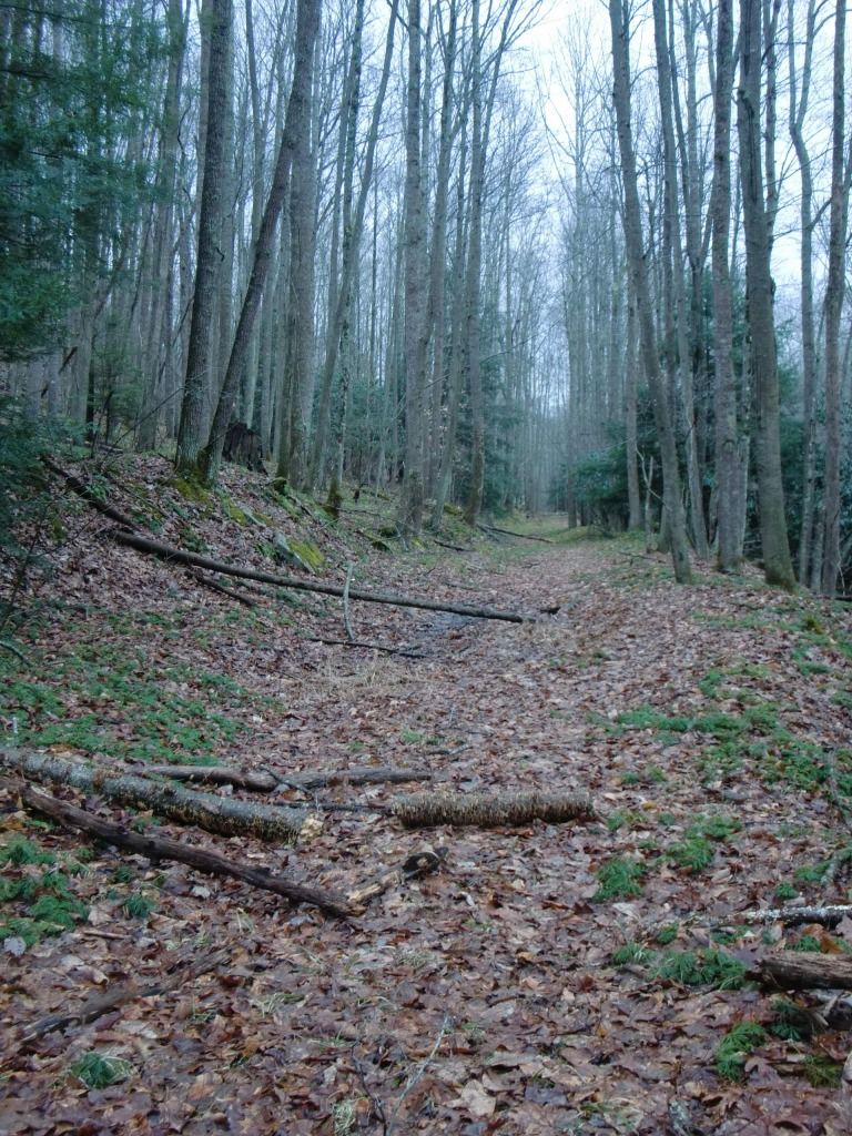
Anyways, it stays pretty level and moist, and you'll eventually come out to where the loop begins again. Like I said, if you're going to do it again, it's more fun--and probably better for your workout--to turn around and run it the other way. When you're done with all your loop shenanigans, look forward to a pretty easy two-mile cruise back down to Glade Creek and wherever you parked your car.
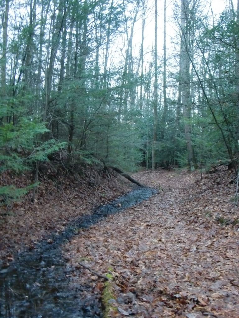
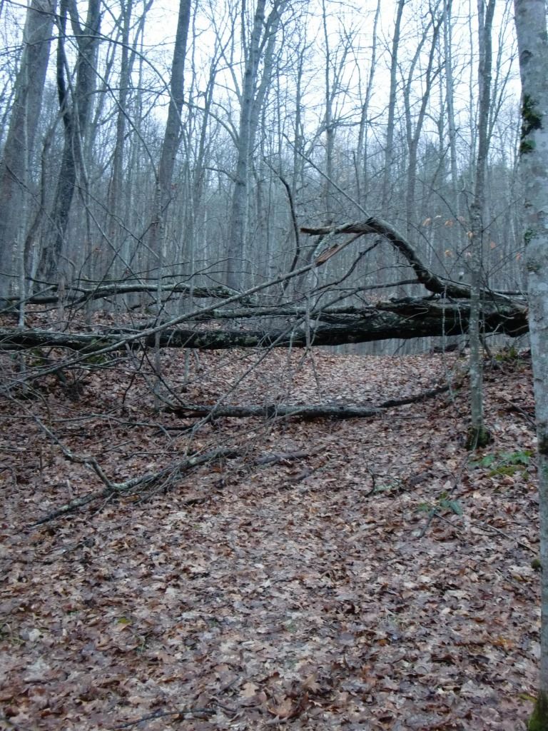
That's Kates Plateau Trail! Here are a few more pictures to illustrate the "logginess" and sogginess of this area:
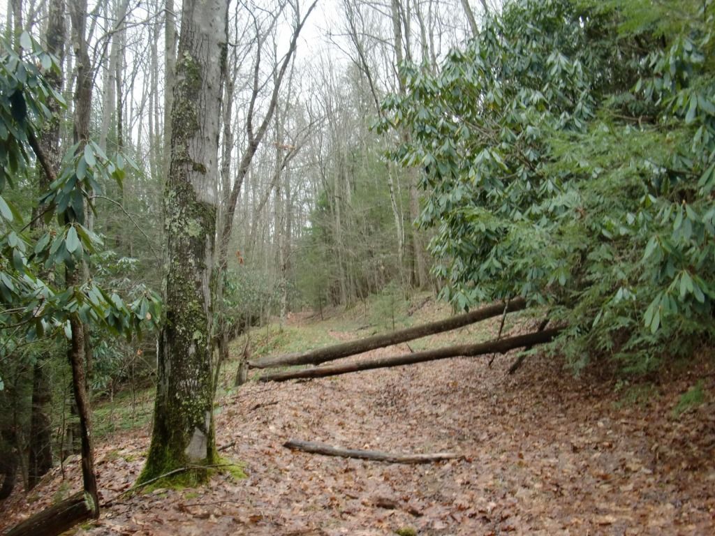
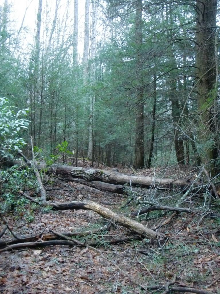
 |
| This big guy will probably stop you in the middle of your run and force you to crawl over or under him. he only wants to give you a break." |
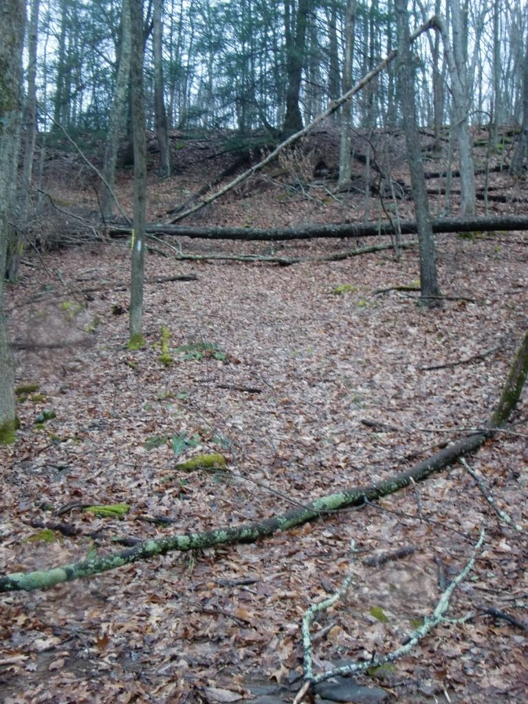
|
| I know I already put this in here, but I really love this picture. For a second, I couldn't figure out where the trail went. |
No comments:
Post a Comment