Finding Kates Plateau Trail is almost as much of an adventure as running it. Before writing about the trail itself, I've decided to dedicate a blog post on driving directions to the trail. Watch for nearly hidden roads, potholes, hairpin curves, and 3/4 of a bridge.
Because of the lack of clear signs or the availability of detailed directions, I had planned to begin my review of the Kates Plateau Trail with directions to the trailhead. However, it took me long enough that I decided to make these directions a separate post. If you're looking for the actual trail review for Kates Plateau Trail, click here.
In case you're trying to get to what I call the "backside" of Glade Creek Trail, these directions also apply, since the trails share the same trailhead.
From I-64, you'll need to take exit 129 to go south on WV Co. Route 9 (the Shady Spring exit). Keep your eyes open, since you'll only be on this road for about half a mile (it kind of becomes 307 in a third of a mile, though). You will pass an Exxon on the left, and shortly after that there will be a sharp curve to the right with a yellow 25 mph sign and a bus stop caution sign right behind it. Turn LEFT onto the gravel road that's directly across the road from the bus stop sign.
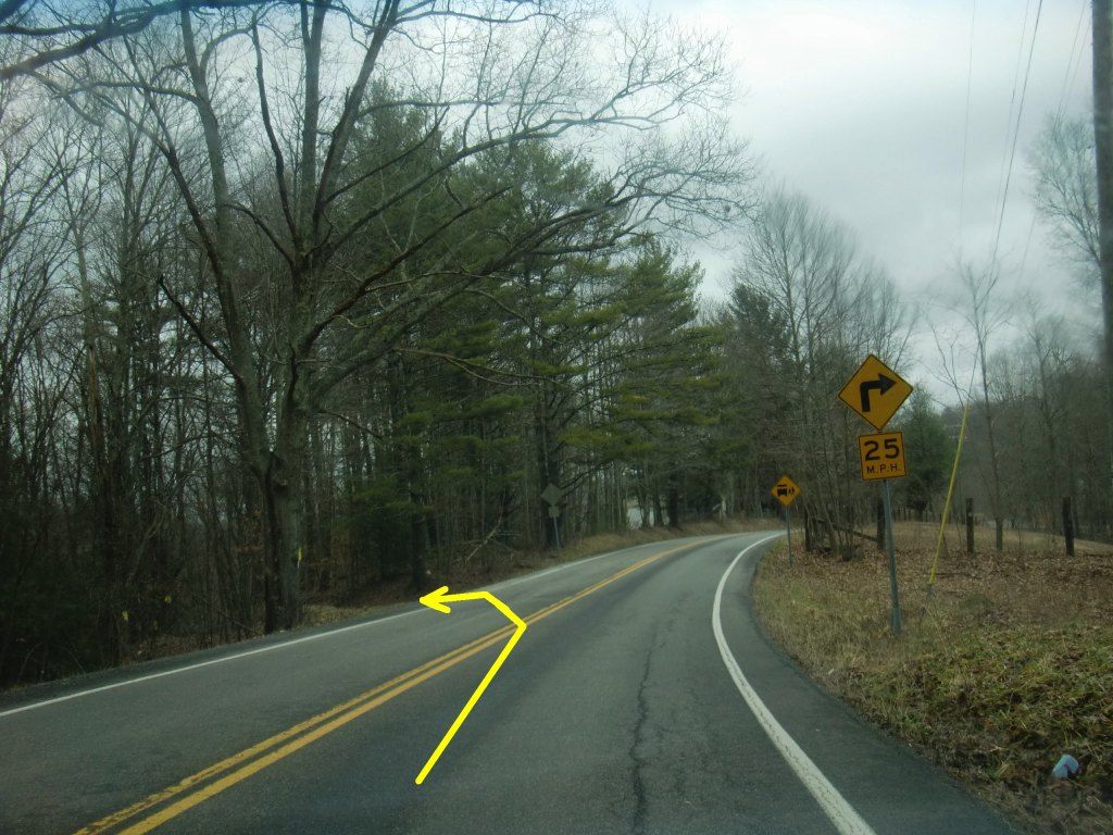 |
| The yellow arrow is computer generated, so don't be relying on it as a landmark. |
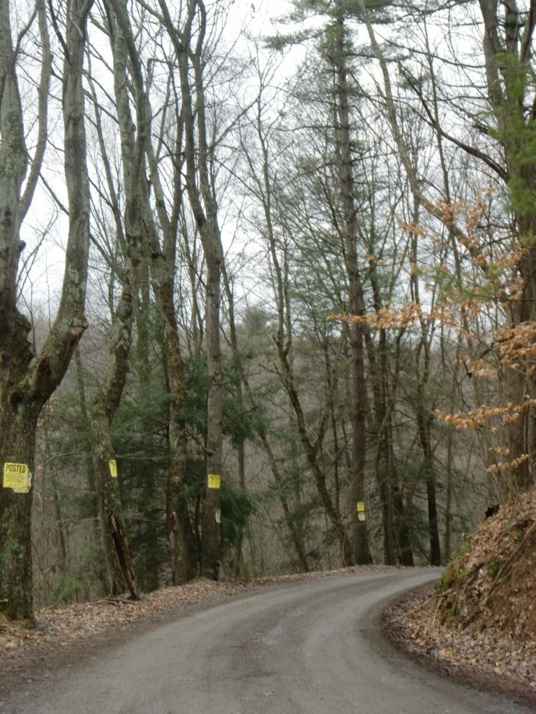 |
| A warm, welcoming path. |
The very first time I attempted to locate Kates Plateau, I missed this road and ended up in Little Beaver State Park. If you end up passing Little Beaver State Park, you've gone too far, and don't feel too bad. It's easy to miss.
The road is gravelly and windy, and it's usually full of potholes and erosion. I have a little Honda Accord, so I sometimes have to go very slowly and choose my path carefully on certain sections so that I don't ruin my vehicle. Higher clearance vehicles will fare better on this road, but I've never had a problem accessing the area in my little car. It's steep, though, so I've never been brave enough to try to get down there on a cold day when there is likely to be ice. I wouldn't stand a chance on that grade if the road was snowy or icy.
There are a couple other drives that come off of this road, but just try to stay on the main one, and you'll get there. You should go by a cool barn.
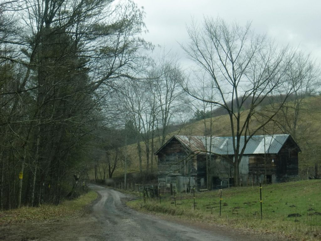 |
That's
a barn, right? I just call any old building that's made of wood
and sheet metal a barn.
|
Ok, near the end of the road, you'll come to the curve of all backwoods country road curves. Some vehicles may almost have do a three point turn to get around it. When you get here, you're almost to the trailhead:
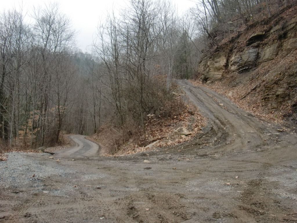
Now that I think about it, someone may have widened the road out on the edge of this curve, because the most recent time I went out there I didn't have to put my car in reverse to get around like I used to. Whichever way you're coming, slow down, and make sure there aren't any other vehicles coming the other way. You'll probably need most of the road.
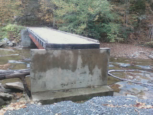
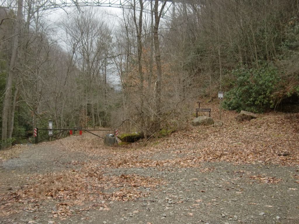
After the hairpin, you're pretty much there, but let me warn anyone who hasn't been out there: don't be fooled by the bridge. Even if you could make it onto the bridge, you would drive right off the other side into Glade Creek. You'll have to park on the side of the road somewhere and cross the river at your own risk.
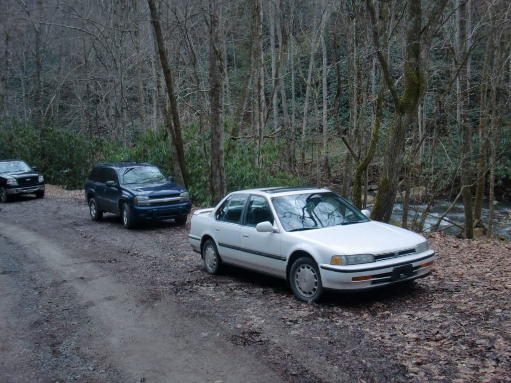 |
| There's room to the side of the road down closer to the bridge where many fisherman and hikers park (all the hikers I've encountered here have been on Glade Creek Trail). |
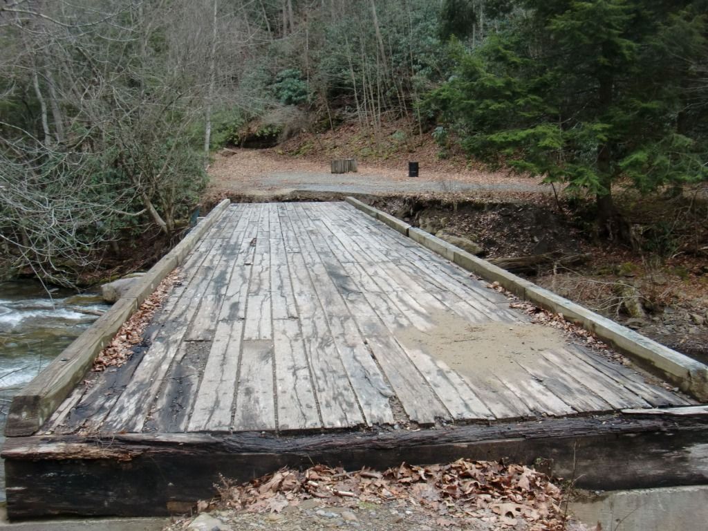 |
| But it looks so close! |
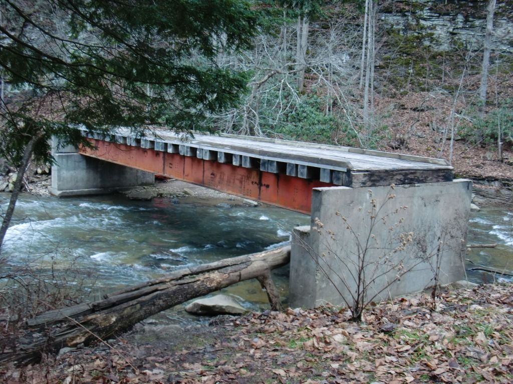 |
| The bridge from the trailhead side of the creek. |
Cross the creek at your own risk. I can't be held responsible for anyone drowning, falling off the bridge or that log, breaking a bone, or any other injury which may occur in attempting to get to the trailhead. Be creative and as safe as you can. A bunch of high schoolers on a backpacking trip made it across that log without injury, so that's one very viable option. It probably is safer than trying to cross the river at that area, but it does get more shallow in other places. If you can find another place to cross, it's up to you.
You did it! You're there! Next post will be on actually running Kates Plateau after you've gotten to the Kates Plateau/Glade Creek Trailhead.
 |
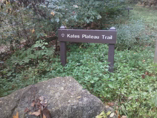
| The end of Glade Creek Trail that's closest to Kates Falls is right next to the beginning of Kates Plateau Trail. |
No comments:
Post a Comment