Distance: 8.6 miles (17.2 out-and-back)
Difficulty Rating: Moderate
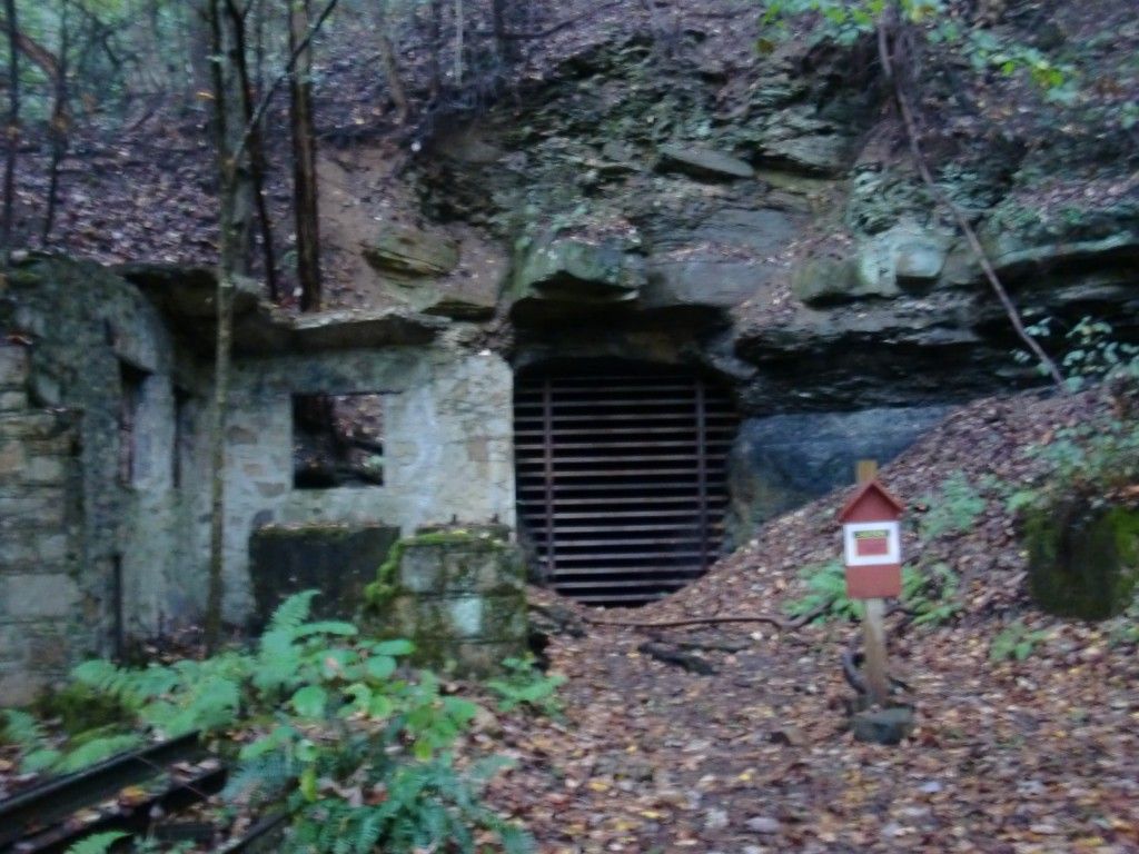
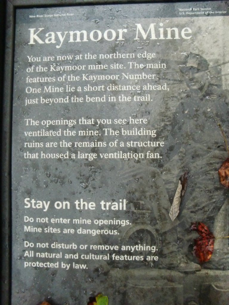
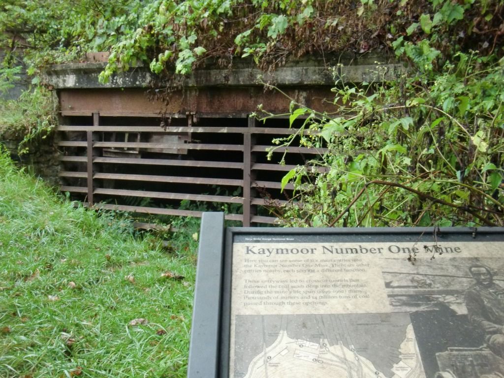
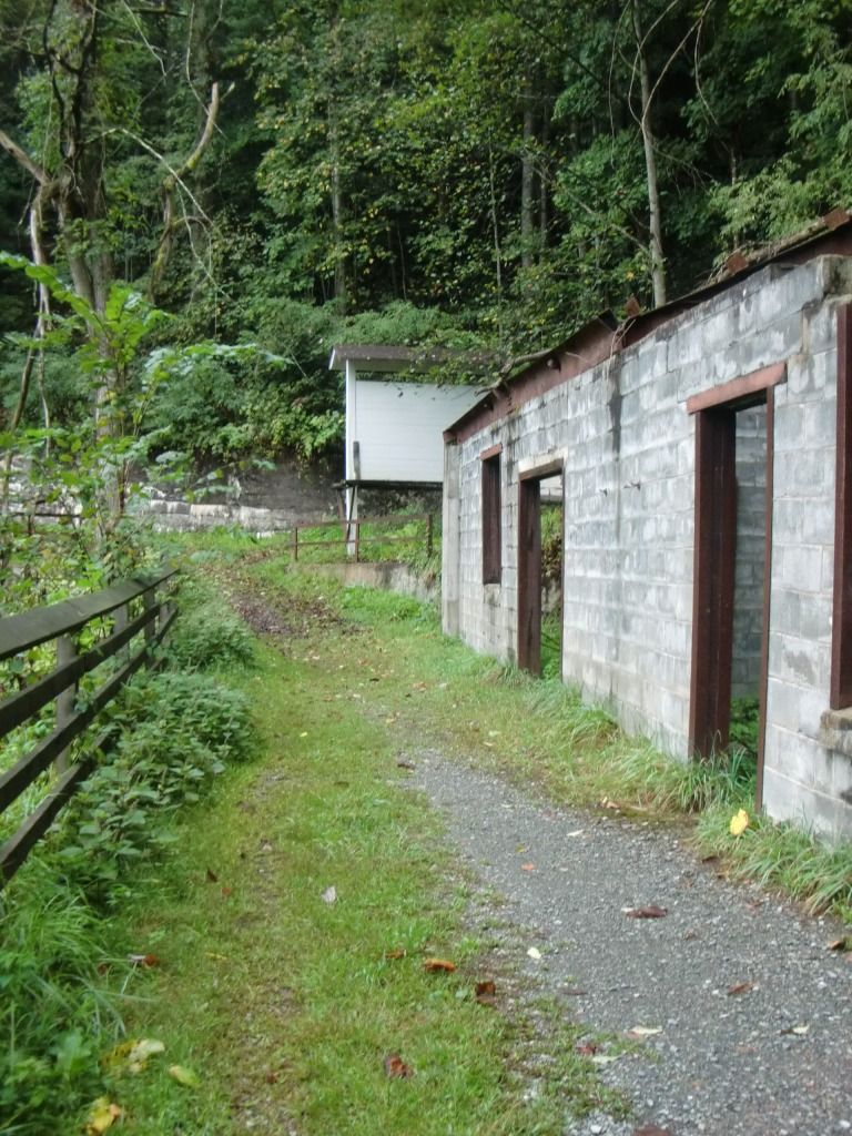
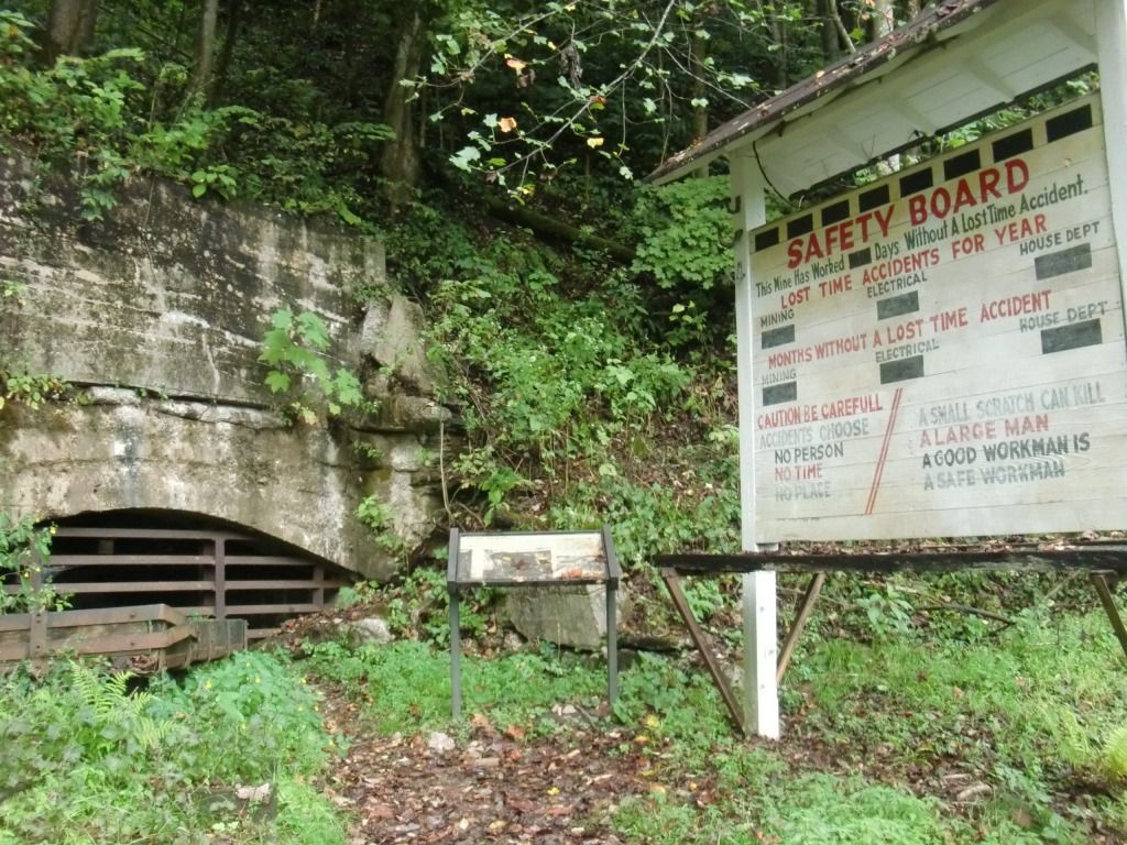
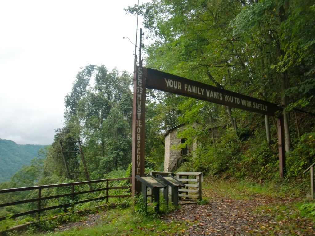
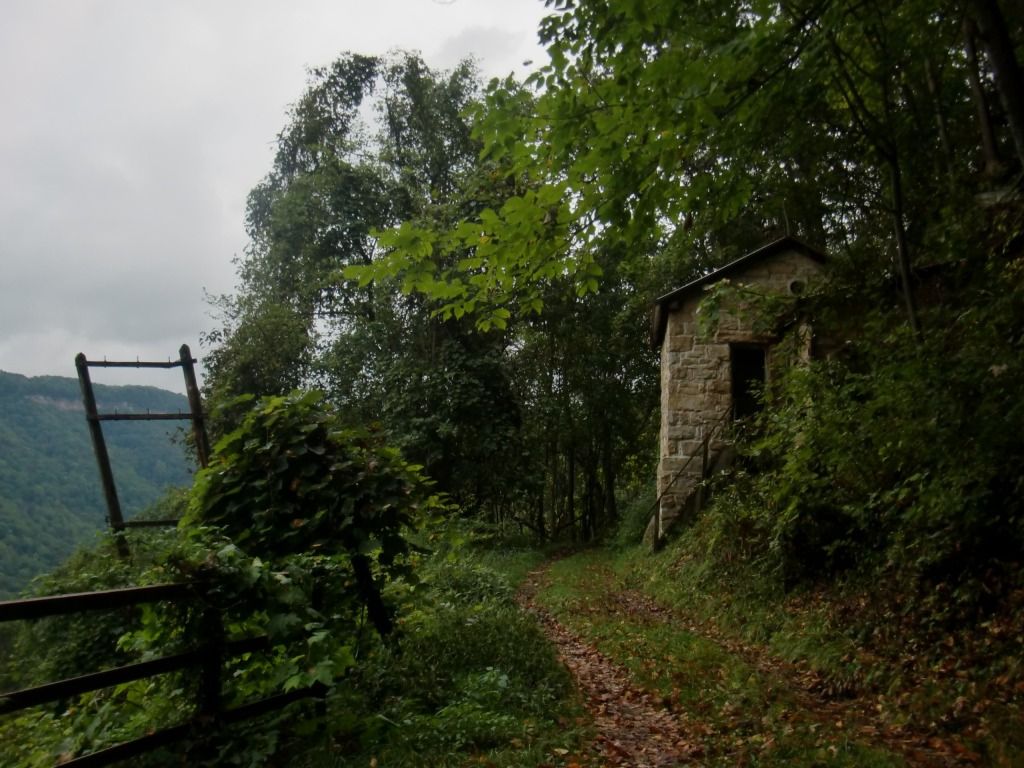
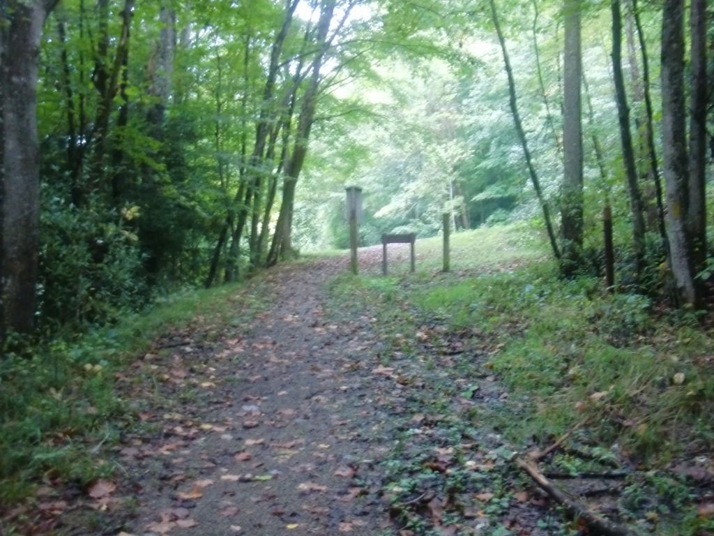
 Kaymoor Trail, starting from Fayette Station Road at its Wolf Creek trailhead (near Fayetteville Trail), begins mostly as an old gravel road, uphill two miles to the historic Kaymoor Mine Site. A couple miles later, the trail abandons the gravel road look for a more woodsy type of trail (with a brief clearing where kudzu has taken over), with some steep but very short ups and downs until it reaches the river access road that leads down to Cunard, close to a beautiful waterfall in Coal Run. The waterfall is not viewable from the trail, but there is a clear view of it from the road. If you're a waterfall lover, this trail will make you happy, since there are a few good ones near or on Kaymoor Trail, especially if the season is right.
The sign at the Wolf Creek trailhead says that the first couple miles to the mine site is "mostly level." I'm not sure *exactly* what that means. I mean, it's not like it's as steep as Kaymoor Miners Trail or Craig Branch Trail--if you've been running anything in the Gorge for very long, you should be able to handle it, but Big Uncle Harold would probably get a little out of breath on a few of the hills going that way. Really, it's not terrible, but I don't think I'd introduce it as "mostly level." Maybe more like "level in a few sections," or "compared to the rest of the trail, the first 2 miles is relatively level," since the trail gets a lot more hilly after crossing Kaymoor Miners. Still. Mostly level? I would say, "mostly a moderate incline."
The trail begins with a bridge over Wolf Creek, which is a truly beautiful area, as are many stream areas in the NRG. If you ever have a free day for exploring, I'd recommend checking out Wolf Creek for a while.
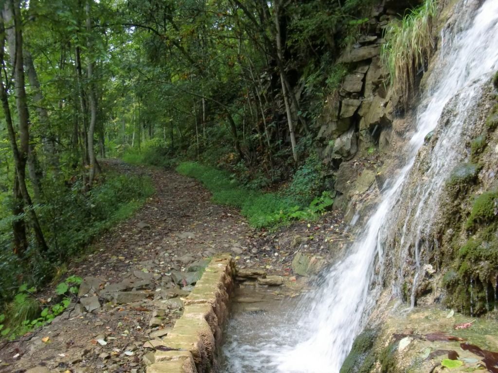
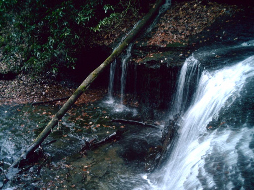
Very soon into the trail, there's a waterfall literally right next to the path, with a manmade rock wall that acts as some sort of dam or way to divert the water; I imagine this was set up to avoid erosion.
 |
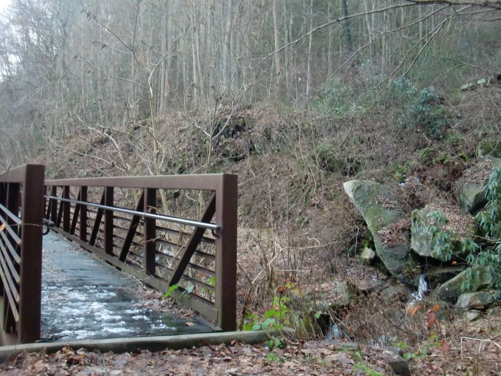
| Bridge over Butcher Branch |
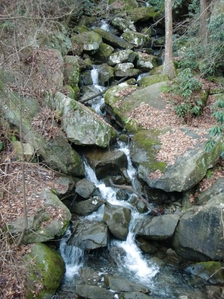

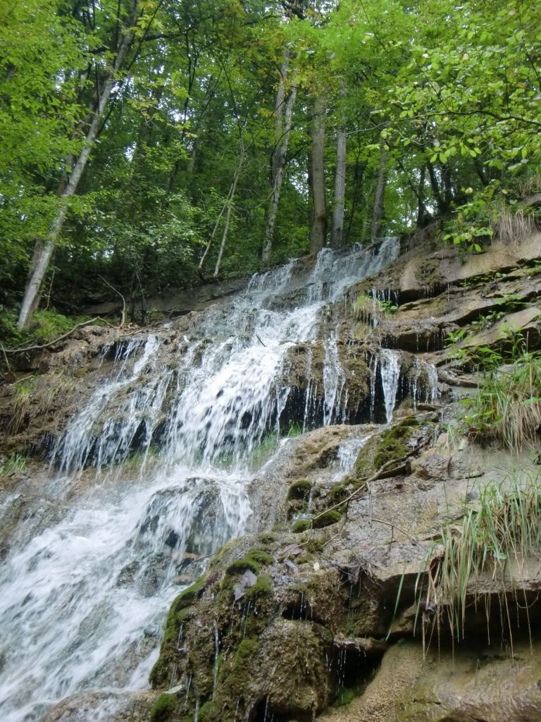
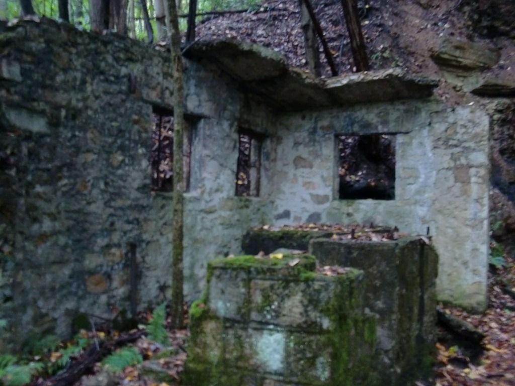
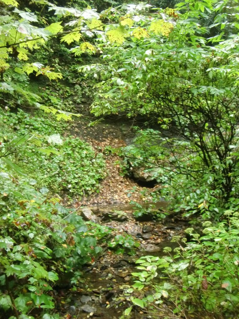
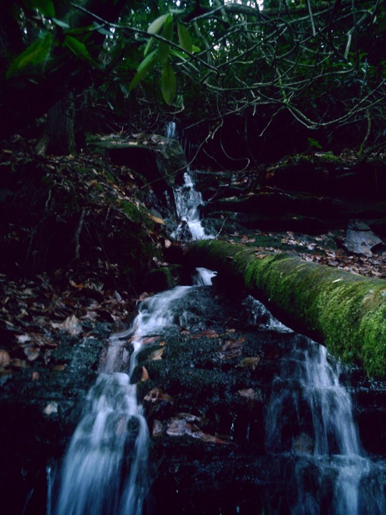
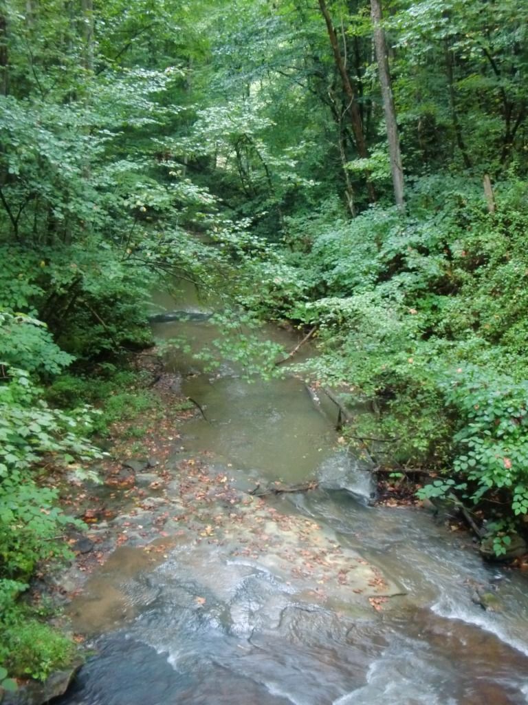
Don't stop to look around for too long, though! The run has just begun, although that is the last you'll see of the mining ruins until you come back this way (assuming you're running an out-and-back). About a half mile from here, you'll go past Craig Branch (the actual stream, not the trail--not yet). Don't expect any fancy bridge like the ones over Butcher Branch and Wolf Creek. Craig Branch flows under the trail through a piece of culvert. I took the following picture on this particular run, and, as you can see, it doesn't look too thrilling at this time of the year, especially with the trees shrubs blocking the view. However, hopping just a teensy bit off the trail, past those first trees, reveals a waterfall, which, again, doesn't look terribly amazing the day of this run.
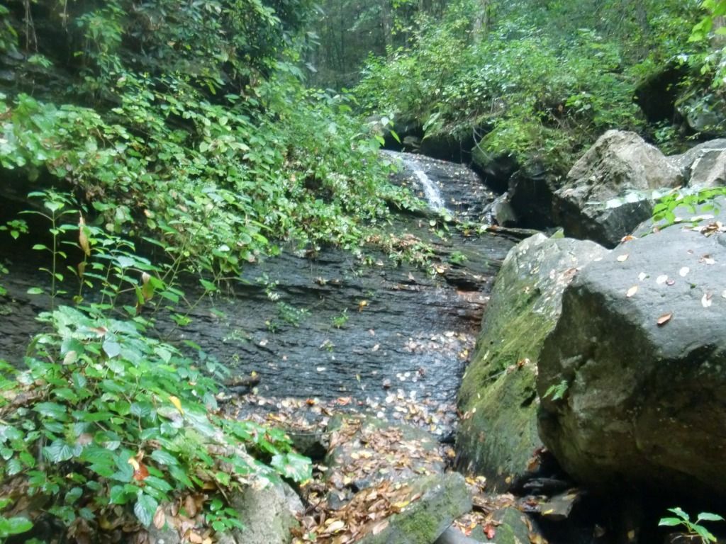
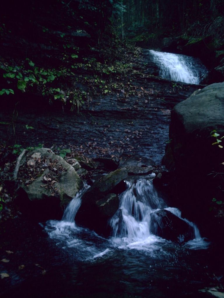
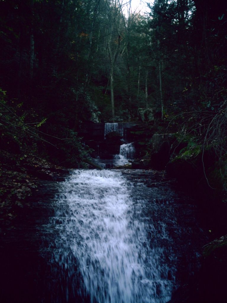
However, if you go when the water's right, the cascading waterfall there is absolutely photogenic:
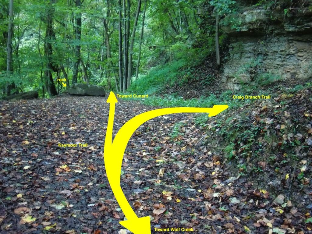
About a mile from Craig Branch, you'll actually get to Craig Branch Trail, which has no actual sign denoting the meeting of these trails. There is a rock on Kaymoor Trail that is large enough that you can't move it or ride a bike over it, but small enough that you could jump over it. Just before this rock, Craig Branch Trail cuts up the mountain and back west again (I've been describing this trail as if you were running generally southeast).
 |
| I have a mighty powerful photo editing app for advanced computer generated graphics. It's called Paintbrush :P |
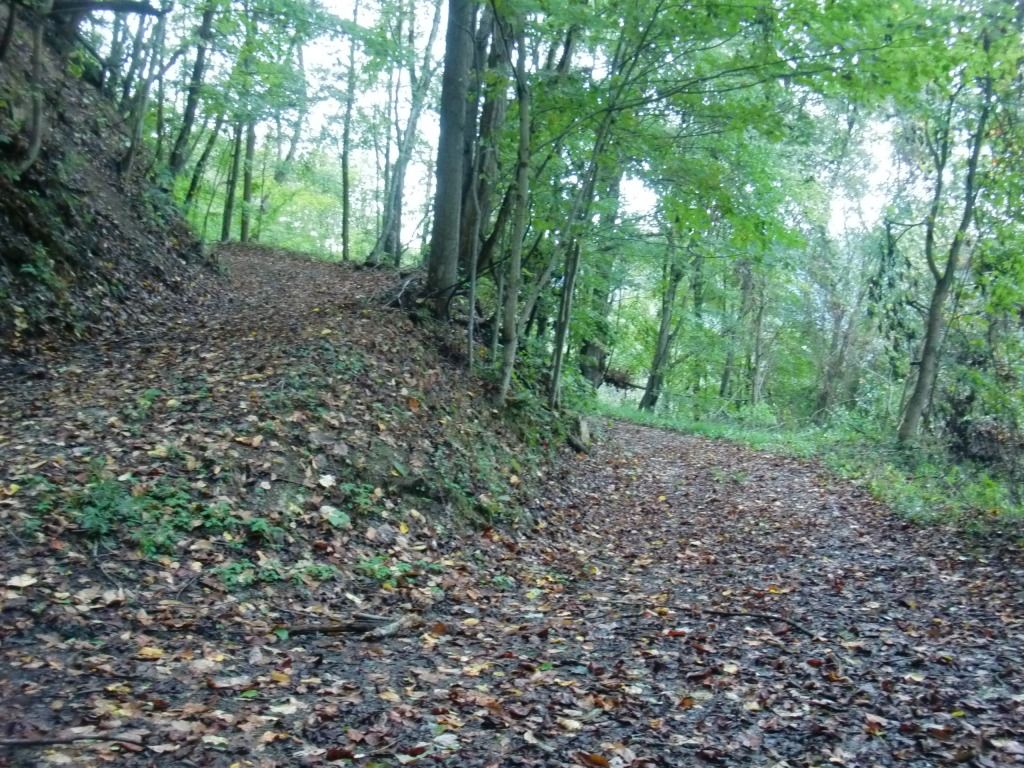
Immediately after you pass Craig Branch Trail and the rock I use as a landmark, the trail gets wetter, skinnier, and less gravel-roady.
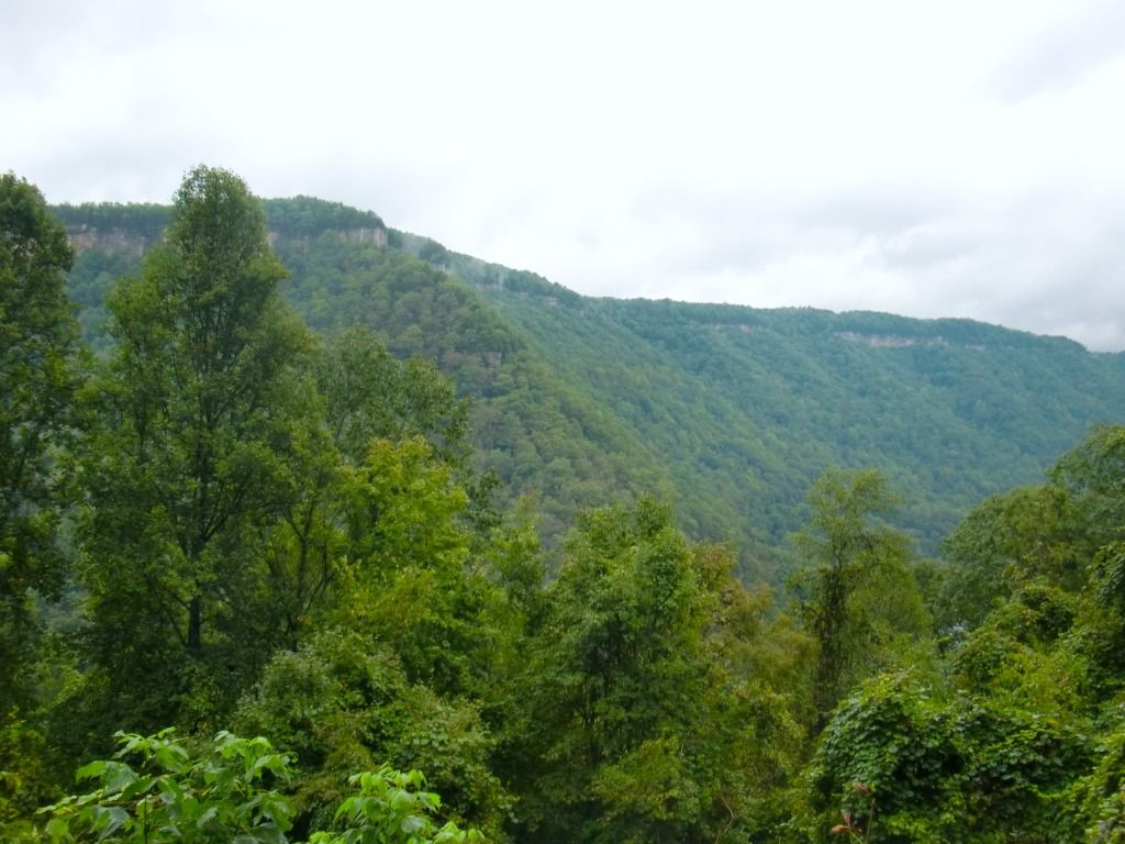
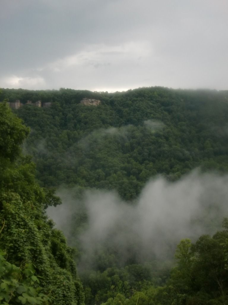
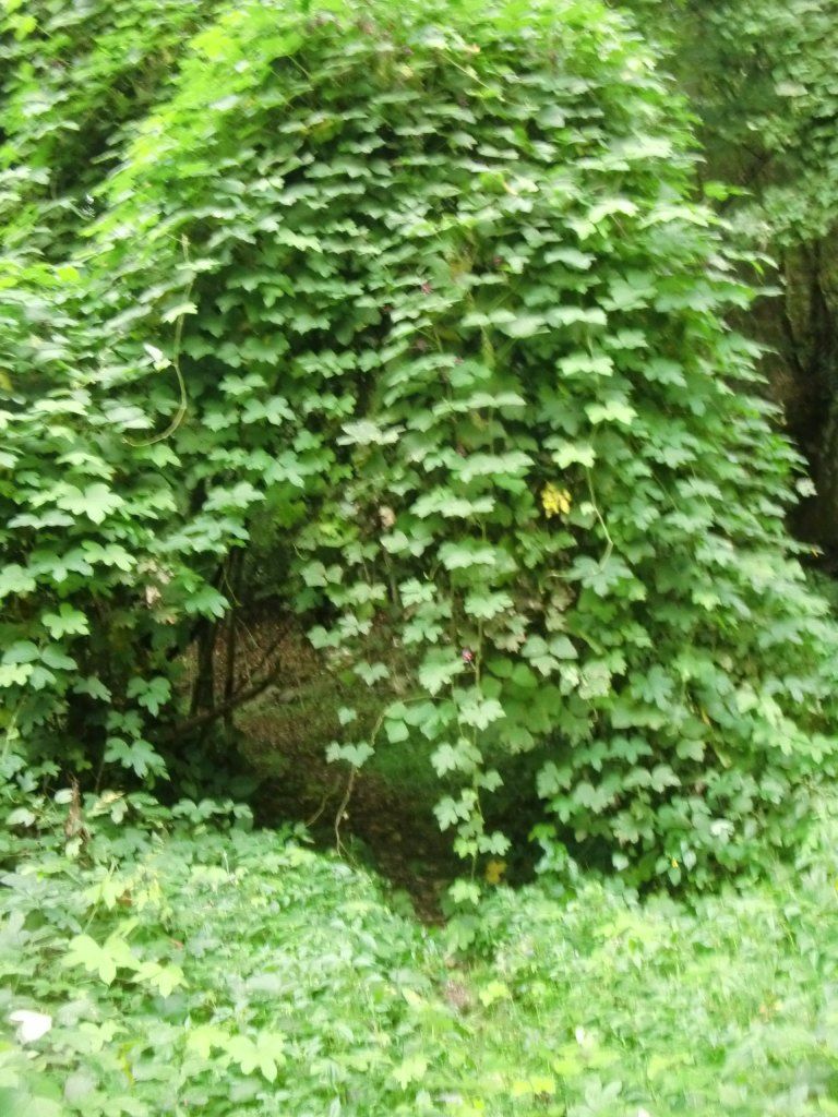
Probably a quarter mile from there, you'll round a bend, and the trees will disappear into a clearing where kudzu has taken over a large part of the forest growth [I'm working on a blog post dedicated to this topic, coming soonish]. Despite the obvious destruction of the invasive plant, it really is a beautiful view; across the Gorge you see Beauty Mountain. Interestingly, from Beauty Mountain, this area looks like a massive footprint. I've guided some rappelling trips out there during my employment at Alpine Adventures, and I would often tell guests that it is the footprint of Paul Bunyan. This place is great on a clear night, since there is neither artificial light nor many trees inhibiting stargazing.
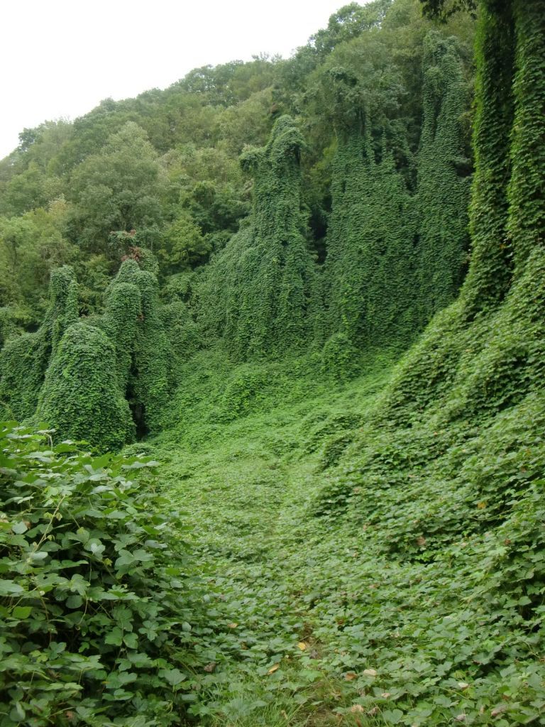
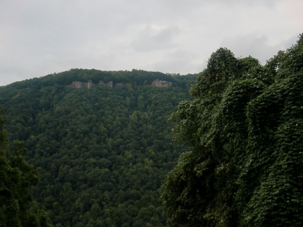
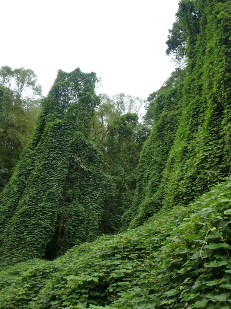
I'd mark this area as nearly the halfway point between Wolf Creek and Cunard. Take in the peculiar sight and scent of the hungry vine (unless it's winter, during which time it's usually just a big brown mess of deadness); before you know it, the forest will resume its status quo in an eery, magical, tolkienic-narnia fashion as if nothing had been awry.
 |
| Exit Kudzu Land through the magical, mystical portal... |
| ...and Kaymoor Trail as you usually know it welcomes you back. |
The first time I'd run this trail all the way through (and as an out-and-back), I stopped for a trail snack somewhere around here, and I discovered what became an instant favorite. Before the run, I stopped at Waterstone Outdoors for some energy gels to get my body used to something that I could use for my first 50k (coming up on October 12!!!), and I saw a box of Honey Organic Stinger Waffles. I had used a Honey Stinger energy bar before, and knew it to be a good brand, so I took one couple of these for the run. They turned out to be manna from heaven. They come in 5 flavors, and I only tried the original honey and also the vanilla flavor, and the honey reigned supreme to my taste buds, although the vanilla was also delicious. I'll definitely be taking these with me to the race.
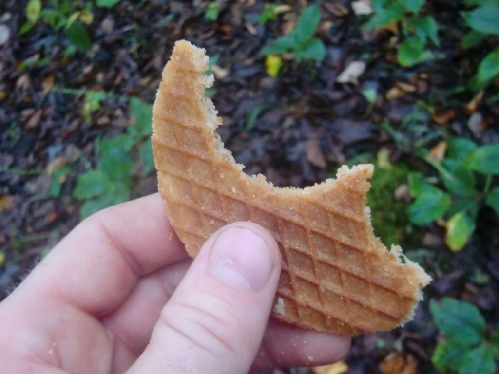 |
| Sweet, compact, energizing, delicious mann from Heaven! It didn't last long enough for me to even take a picture of half of it. |
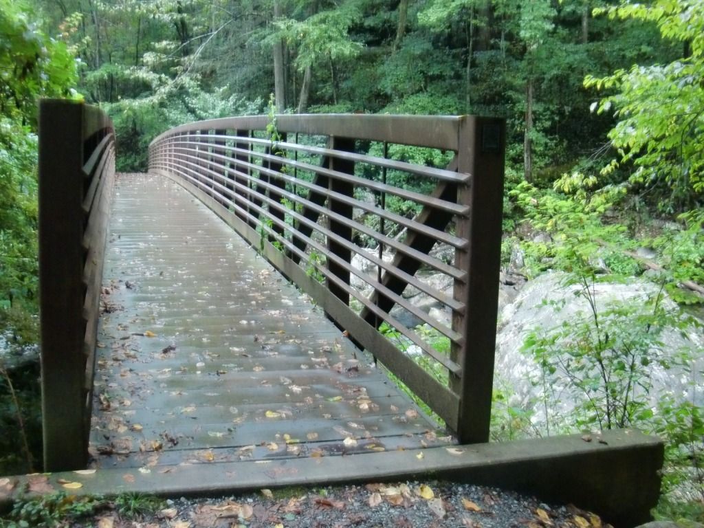
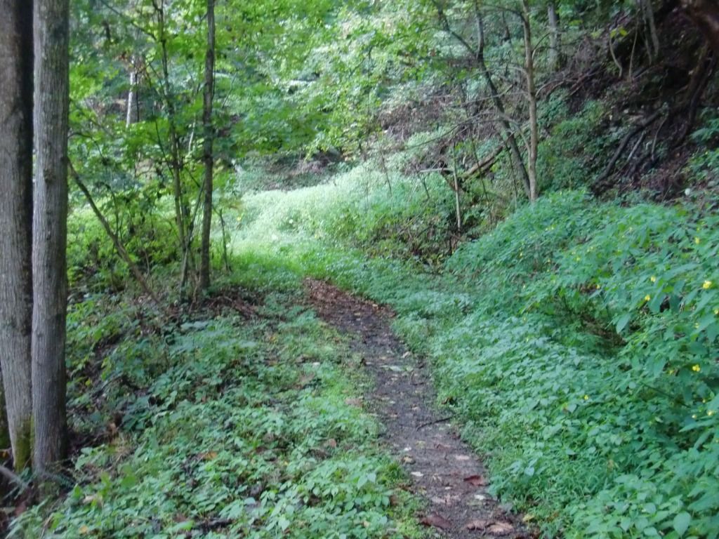
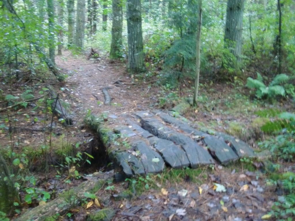
The trail continues, beautiful and green, to a very cool wooden bridge, after which I noticed the trail to seem more pine-needly (I'm inventing all sorts of adjectives today) for a little while. Changes in floral scenery always improve my mood during a run.
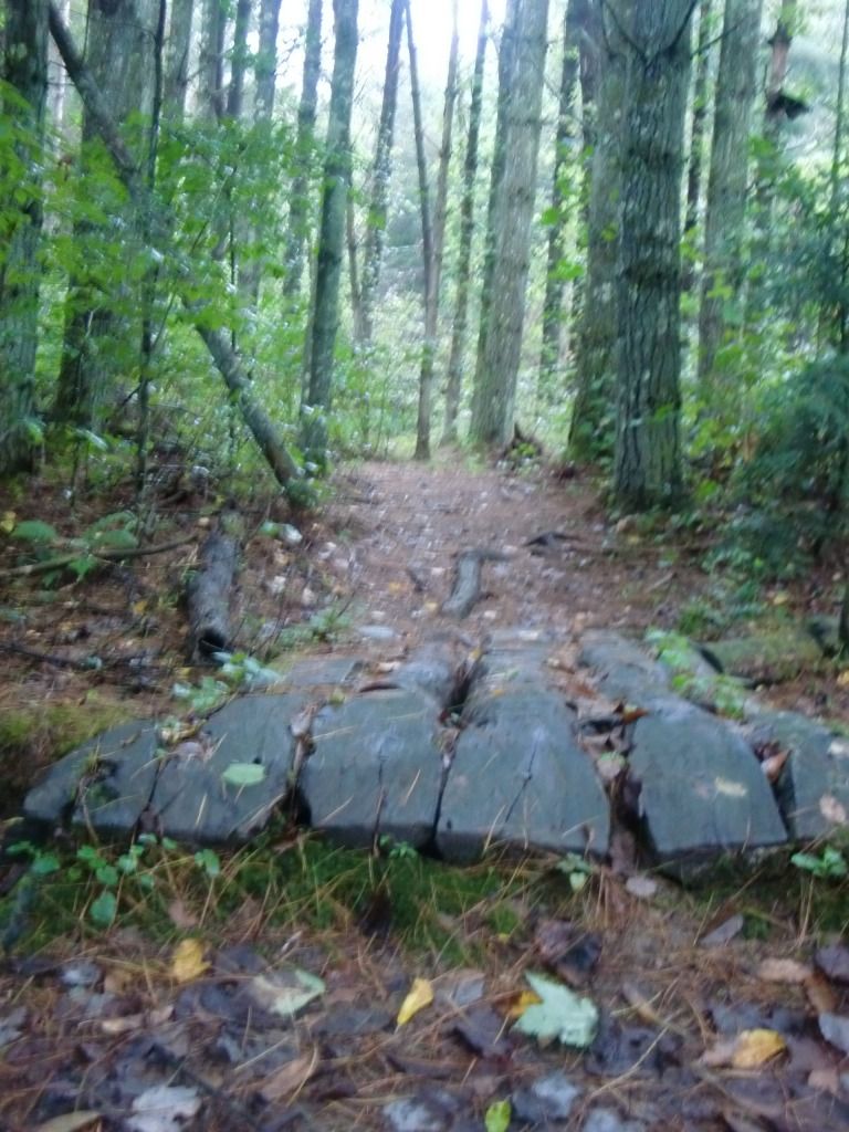 |
| Again, sorry for the lack of good image clarity. Cool bridge, though, right? |
 |
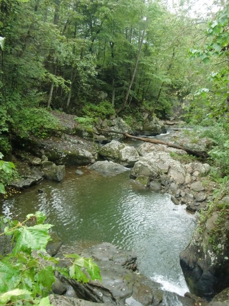
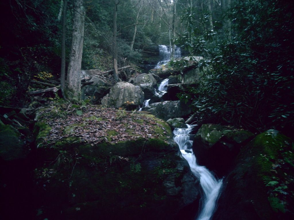
| Coal Run from the bridge |
 |
| The end is near! |
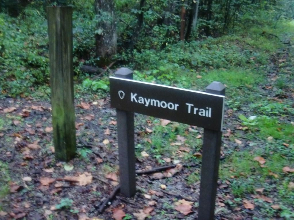 |
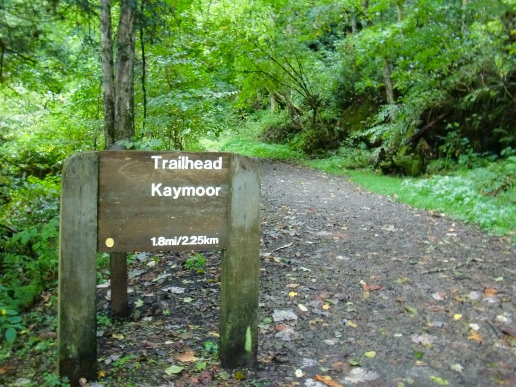
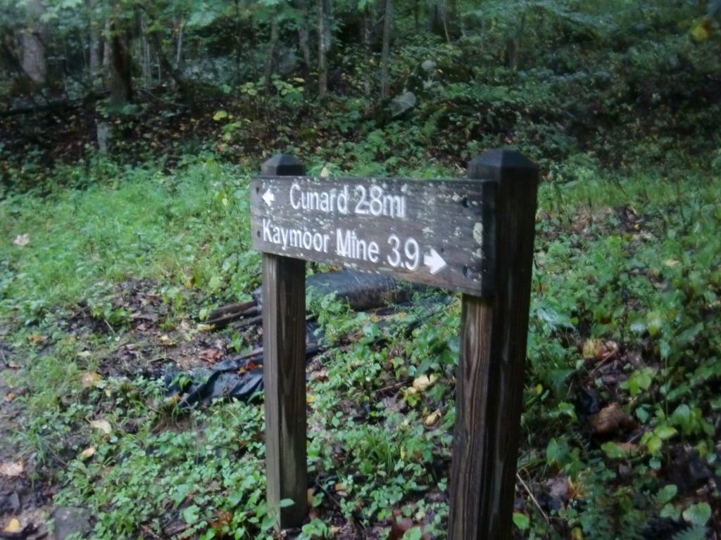
| Kaymoor Trail signpost from Cunard |
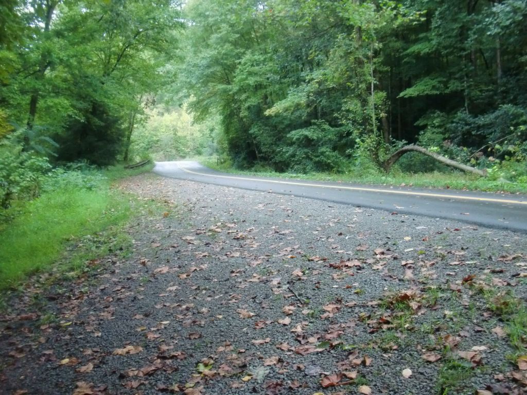 |
| This is Cunard River Access Road. Take a left from the trail on to this road to get to see this: |
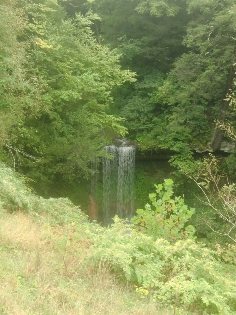
This area is also near the Brooklyn Mine Trail, and the road goes down to the river for boater access. Popular whitewater rafting trips on the Lower New River put in at Cunard and travel down river (north, in the New's case) to Fayette Station.
So there you have it. Kaymoor Trail--some unique areas in the Gorge, fun and not excessively challenging hills, and some beautiful waterfalls make this a good, long (17.2 miles) out-and-back (unless you set up shuttle or somehow get one of the river companies to let you hitch a ride to Fayette Station Road). Have fun, run your run, and enjoy the beauty of God's Creation--it's Almost Heaven!
No comments:
Post a Comment