Distance: 2.4 miles
Difficulty Rating: Moderate
 Craig Branch Trail, an administrative access road, starts from Kaymoor Top and descends the Gorge until it dumps you onto Kaymoor Trail. It is short, wide, and graveled, so it's not very technical. Recently, it has become the backbone of the Arrowhead Trail System, which will not be covered in this post. By itself, Craig Branch Trail offers little unless you want a fast, easy hill to run down (and a bear to run back up, in some parts). It is useful to use as an add-on to your route for a couple extra miles with some steep hill work, or it could be used as an out-and-back.
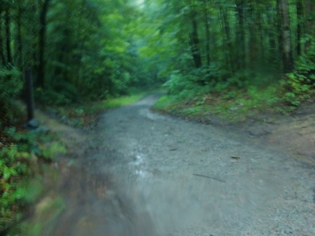
Quick disclaimer: the evening I brought the camera to take pictures of this trail, there was a pretty sick thunderstorm. The low lighting and very wet camera lens made for some pretty blurry pictures.
There's not too much to write about concerning this trail. I run it often enough as part of some of my routine runs, but I usually add it on for the sole purpose of extra mileage and keeping myself sharp on hills. It's a gravel road that starts at the Kaymoor Top Trailhead and travels halfway down the Gorge until it hits right about the middle of Kaymoor Trail. However, the NPS recently partnered with the Boy Scouts [link- http://www.summitblog.org/ribbon-cutting-marks-opening-of-summitcorps-trail/] (September of 2011) to institute the Arrowhead Trail System, designed by the International Mountain Bicycling Association. Craig Branch Trail is basically the backbone of this new system (which trails this blog will focus on at some other time), with the Arrowhead parking area just a little ways down Craig Branch Trail from Kaymoor Top and the mostly single-track bike trails crisscrossing and connecting to/from this wider, gravel road.
Nowhere have I seen an actual sign for Craig Branch Trail. I only know its name thanks to my maps. From Kaymoor Top, the gravel road that the signs for the Arrowhead parking point toward--that's Craig Branch Trail.
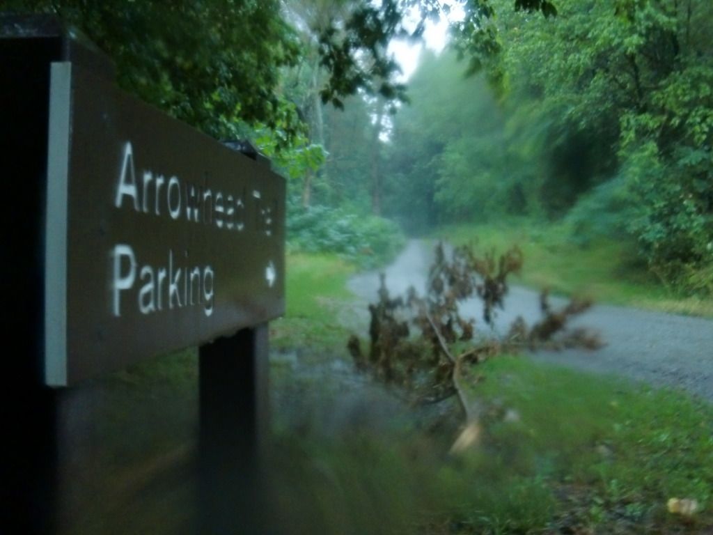
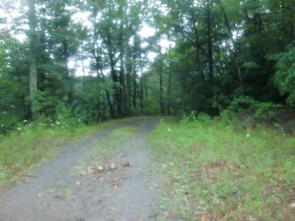
Like I said, there's not too much to this trail. It's a gravel road that begins heading south, but soon it takes a turn and continues mainly east and northeast until it stops. Beginning from the top, you'll soon pass the Arrowhead parking lot.
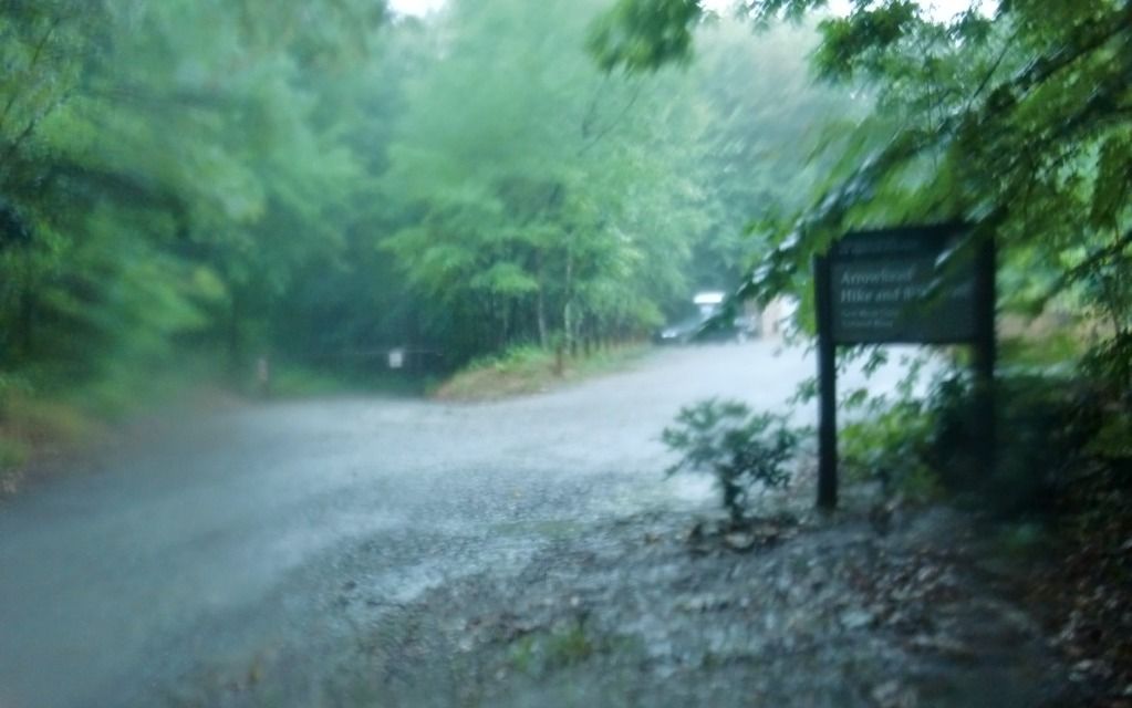 |
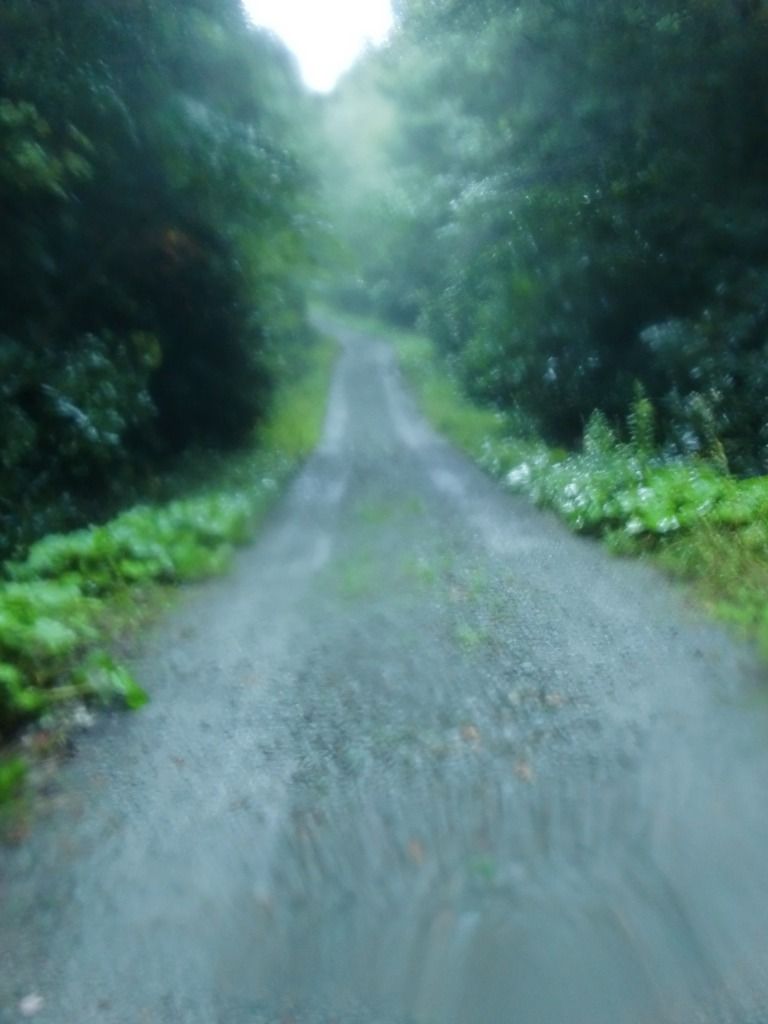
| Again, please excuse the wet and blurry photos. It was an awesome storm! |
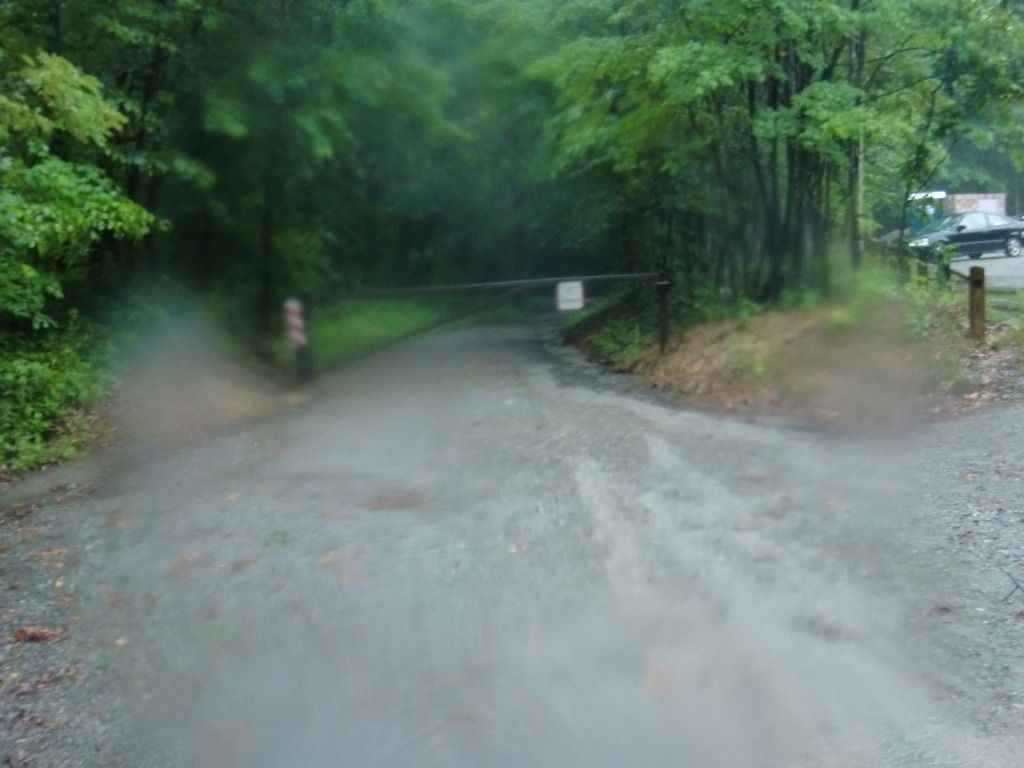 |
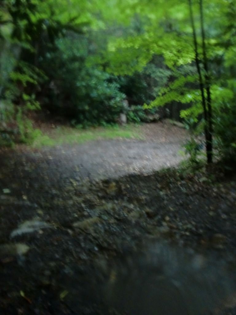
| Keep on the main stretch of gravel past this gate for Craig Branch Trail and more connections to the Arrowhead trails. |
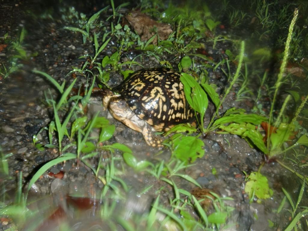
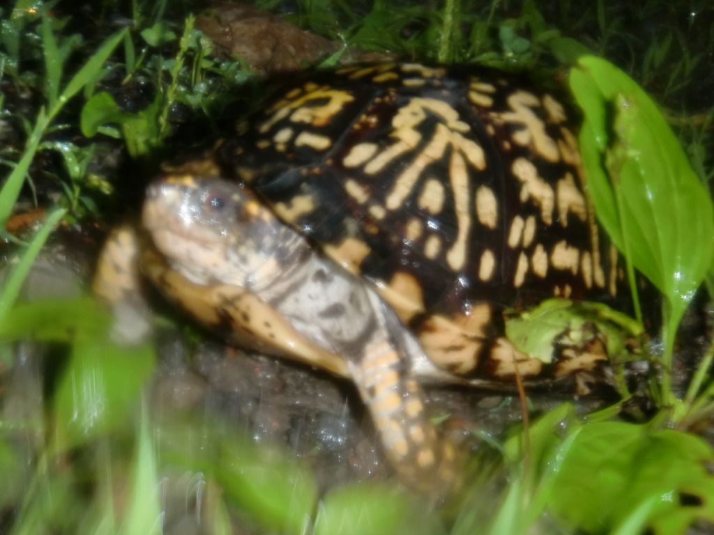
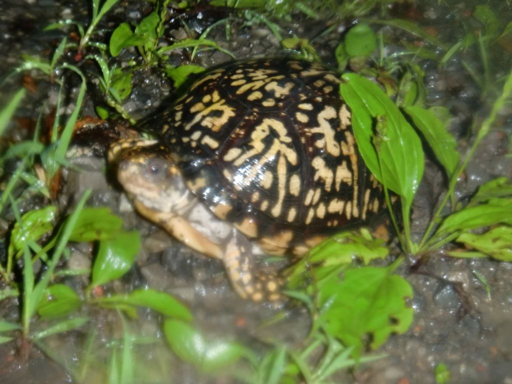
On this particular run, I came across a box turtle in the middle of the road. Thanks to the summer showers, it was all shiny, bright, and clean looking. At this point, I was somewhat frustrated with my camera's wetness that made the pictures look so blurry. I love animals, and I wished that I could have gotten clearer pictures of the turtle (as well as the rest of the trail).
|
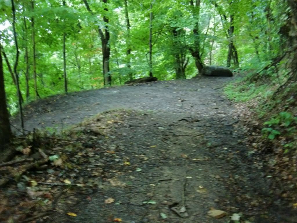
| Get ready. |
From here, there's not much else to say. If you run all the way until you have to turn either right or left, you'll be standing on Kaymoor Trail. If you go left (west), you'll be heading toward the Wolf Creek side of Kaymoor Trail, and you'll pass Kaymoor Miners Trail before you get to Wolf Creek. If you want, you can take Kaymoor Miners back up to Kaymoor Top (which is extremely more difficult--near impossible for me--to run up than Craig Branch Trail). If you go right (east), you'll be heading toward Cunard.
 |
| Looking at Kaymoor Trail. A left here takes you toward Kaymoor Miners Trail sooner and the Wolf Creek Trailhead later. A right will take you to a unique view of the Gorge (a clearing enveloped in kudzu) sooner and Cunard later. |
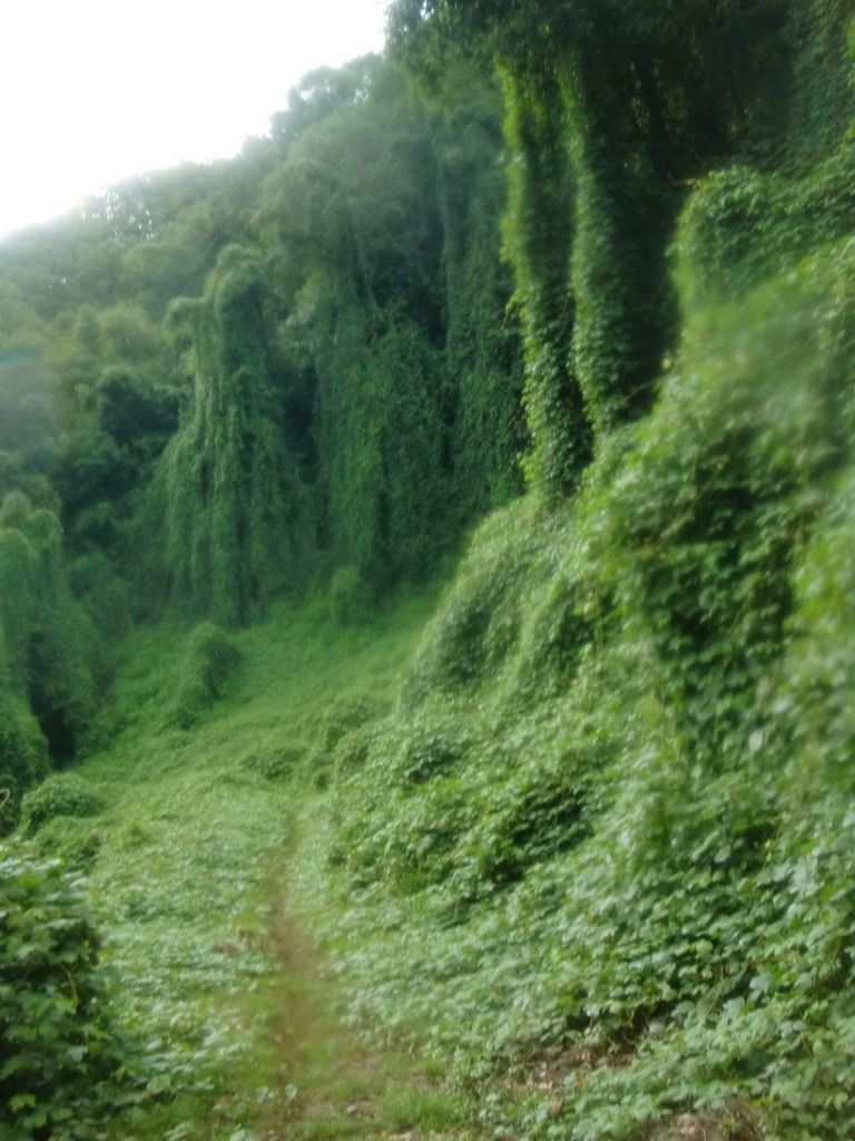 |
| Kudzu on Kaymoor Trail, not far from the end of Craig Branch Trail. |
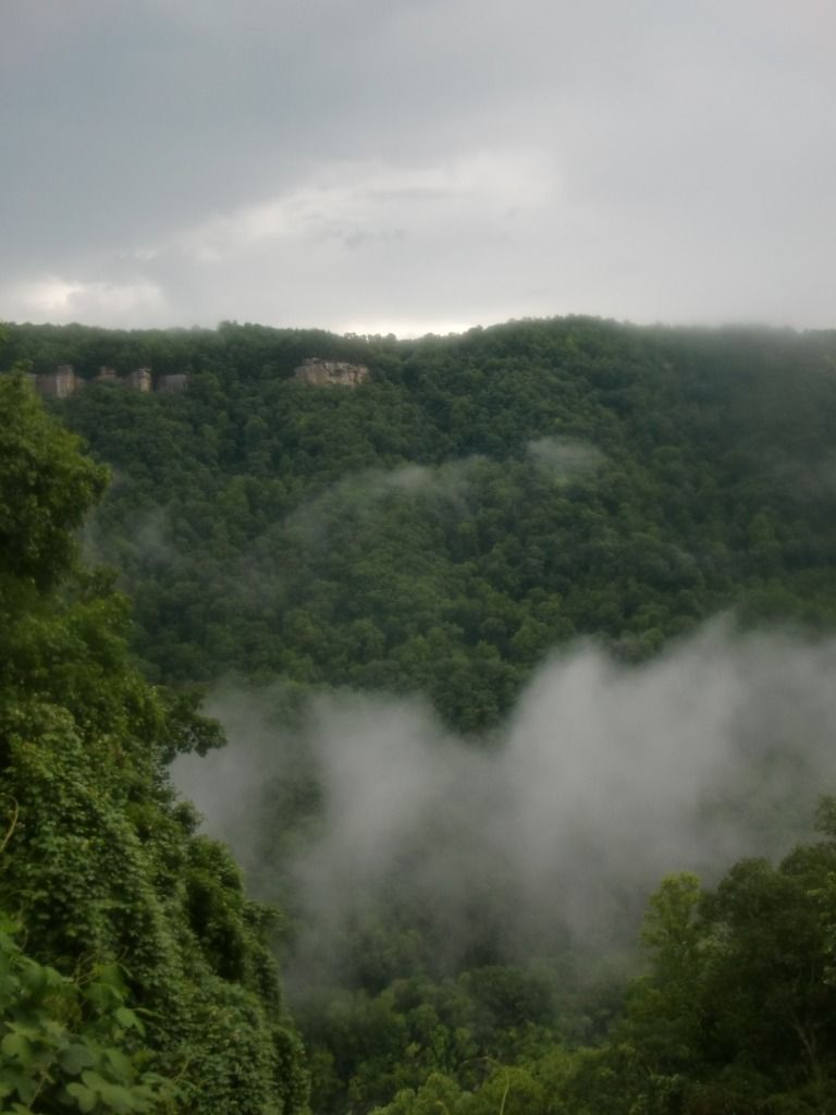 |
| Since the invasive plant has killed most of the trees here, there's a great view of Beauty Mountain on the other side of the Gorge. |
No comments:
Post a Comment