Distance: 3.96 miles from end to end (out-and-back = 7.92 miles)
Difficulty Rating: Strenuous
I've often run a small section of Fayetteville Trail as part of a favorite track of mine, starting from Long Point Trail and running down Fayetteville Trail to Kaymoor Top and back to Long Point Trail via Butcher Branch Trail. However, I'd never run it in its entirety, partly because I never really think about doing it. One of my personal reasons for writing this blog was so that I would force myself to diversify my familiarity with the trails out here at the New River Gorge, so I did recently run it end to end. It's only a little less than four miles, unless you run it out-and-back, although you can add a little extra without going to far by taking Park Loop on the way (if you don't get confused by all the intersections that I can't find on my map).
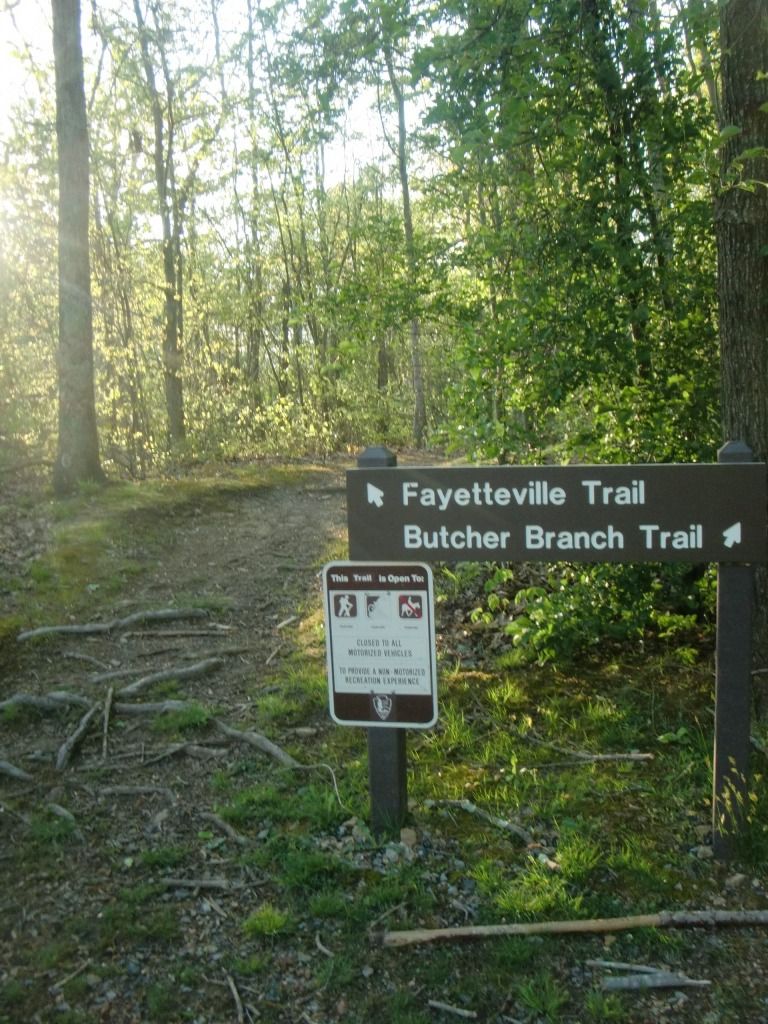
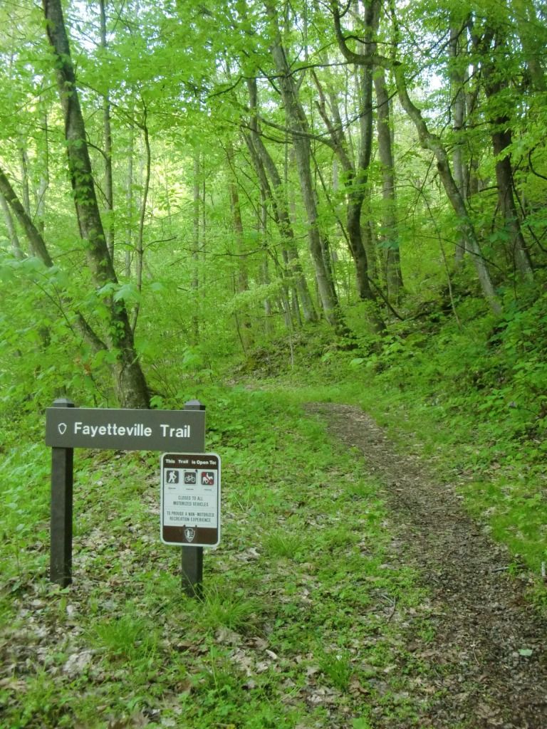
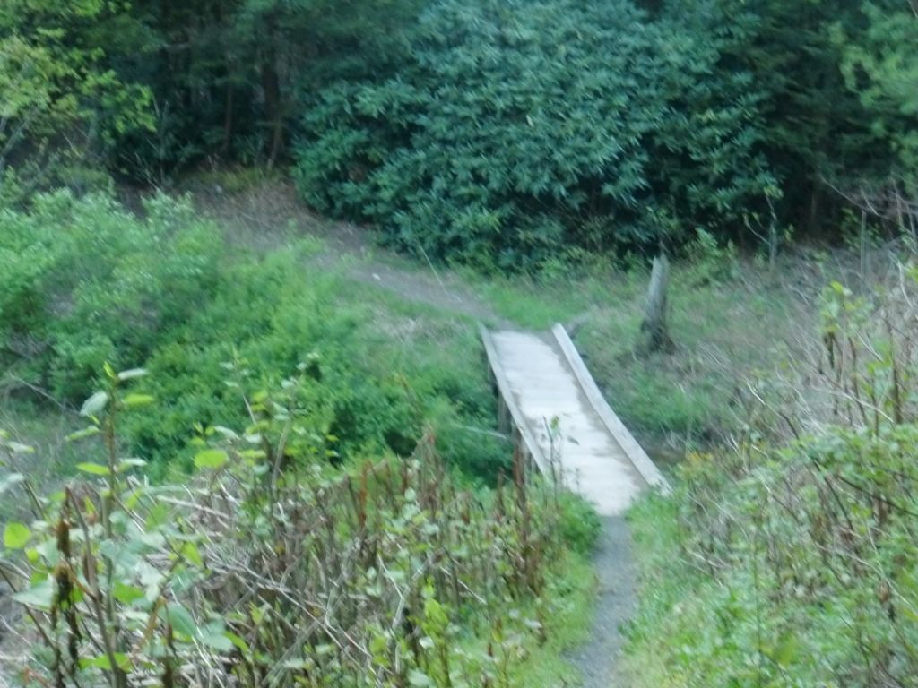
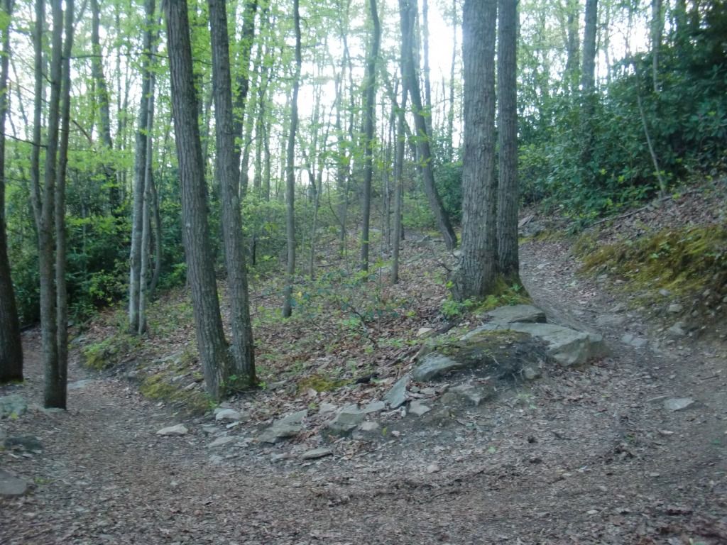
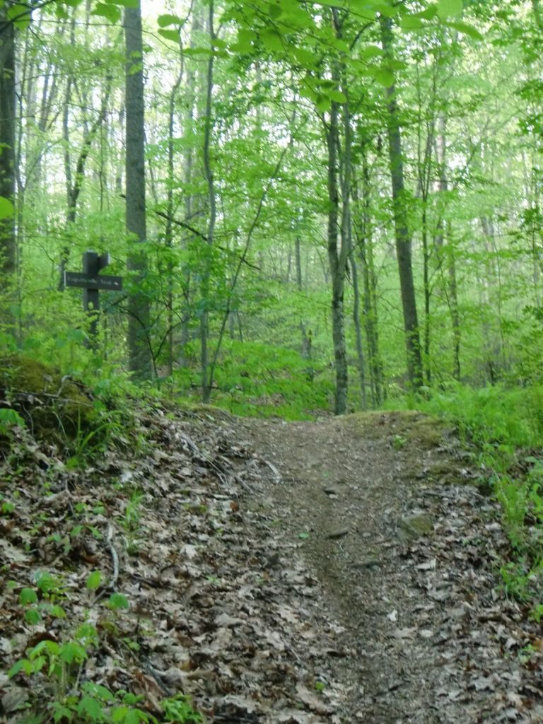
Starting from Kaymoor Top, Fayetteville Trail is right next to Butcher Branch Trail. You'll want your first few steps on the trail to be well placed, since it immediately begins as a fairly rooty single-track. It quickly dips down into a wider, more even trail with a gradual decline. This wideness and gradual slope is also short-lived; the trail becomes extremely narrow and sharper of a decline before you cross a small bridge over Butcher's Branch. One of my favorite parts about this portion of the trail is just watching and noticing how different the plants are from Kaymoor Top to Butcher's Branch--only a quarter mile of running. Everything was so green this day, too, and the weather was gorgeous.
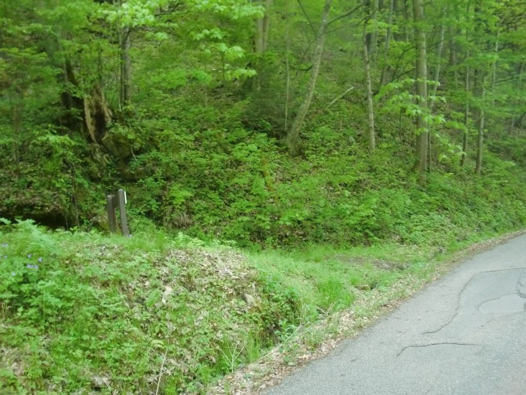
 |
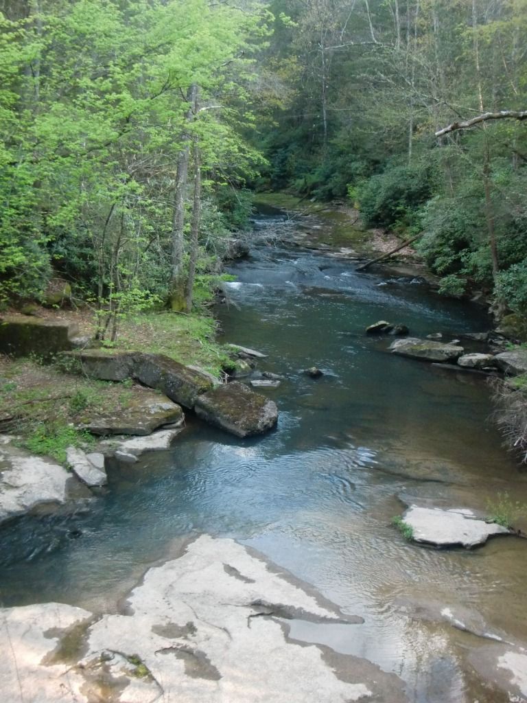
| If you've normally seen it from the waterfall at Butchers Branch Trail or below, it's hard to believe that this is Butchers Branch. It was pretty wet this time--sometimes I hardly even realize there's a creek here. |
Right after the little bridge, the trail ascends steeply and gets a little shadier as the evergreens get thicker. The trail is narrow; watch out for soft edges that could cause you to slip down the hill. This steep hill is not very long, and after a hard switchback, you'll be near the top where your legs can rest a little better (if you're out of shape like me, you'll be glad for it). Although the trail trends downward from Kaymoor Top to Fayette Station Rd., the short, steep inclines and declines like this one are pretty common. You'll cross Long Point Trail here; keep going straight to stay on Fayetteville Trail.
 |
| Don't be deceived; you didn't just run your fastest 2 mile split ever. Keep reading. |
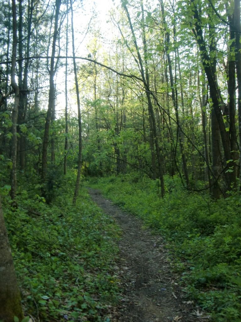
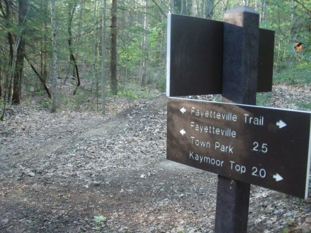
From here, the trail does some rolling up and down, but it's not too technical. You'll start descending more quickly to the connection of this trail and Timber Ridge Trail. Take a right (north-westish) to continue on Fayetteville Trail. Notice my excellent photo editing skills.
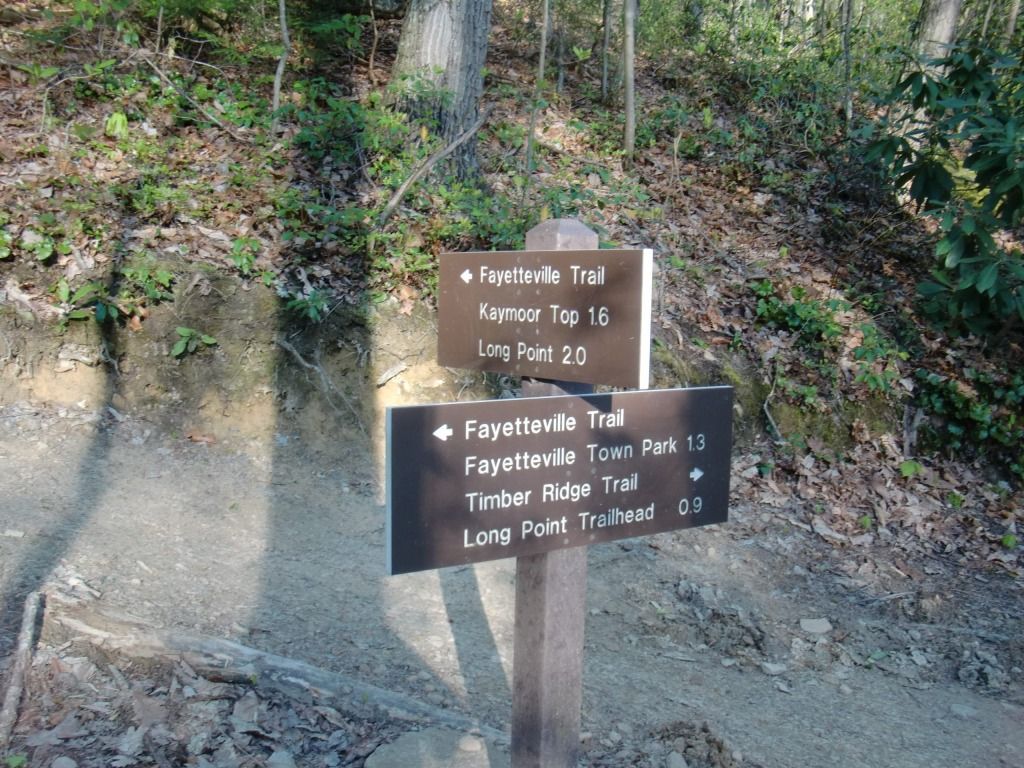 |
| So, if Kaymoor Top was 2 miles away when I crossed Long Point Trail, how is it only 1.6 miles away, now that I've run further? This sign is the more accurate one. |
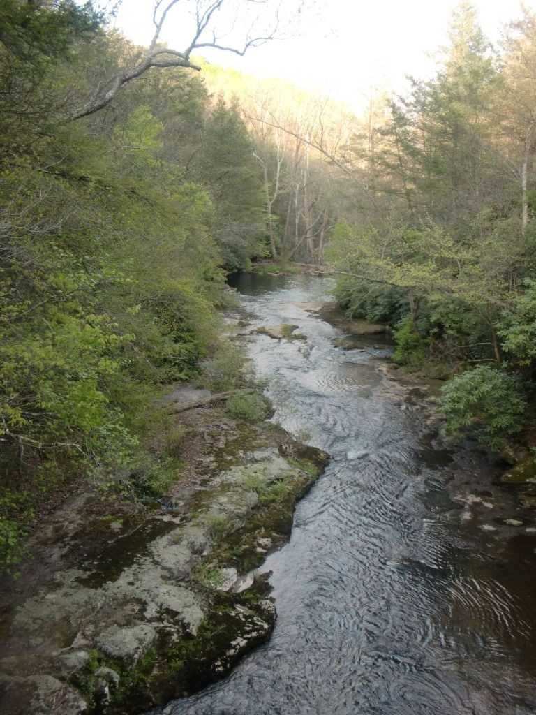 |
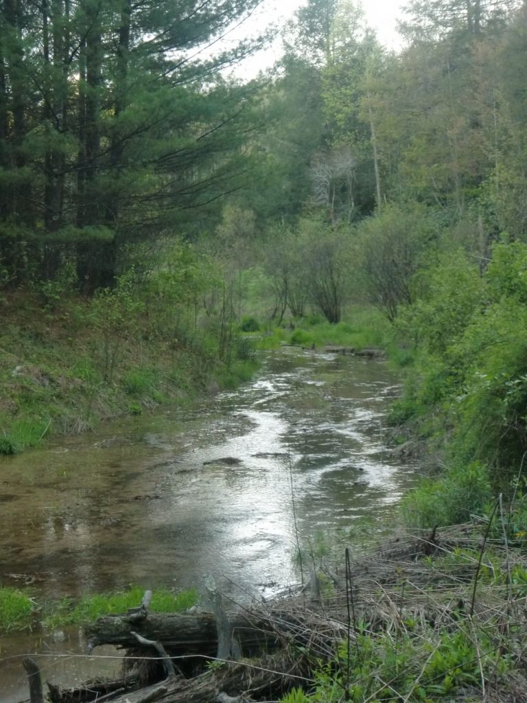
| House Branch from the bridge over Wolf Creek |
 |
| I can't remember if I took this picture from the bridge or the other spot, but it still would be the same part of the creek. |
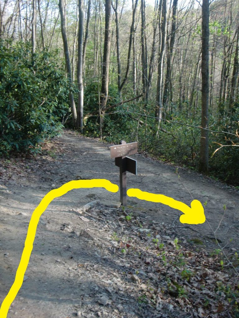
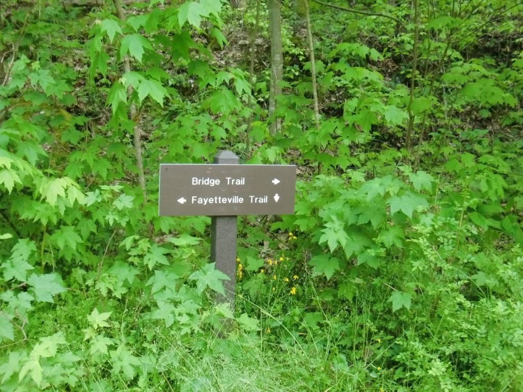
Once you hit a wooden triangular median thing and the backside of the sign in the middle of it, you've entered the part of the trail connected to Park Loop Trail. Now, to be honest here: I've only been in this area a couple times, and both times it has confused me. There are all these little side trails and intersections that aren't on the map I have. I'll try to figure them out by picking a few directions and running down them, and I never end up exactly where I plan to end up. As far as I can gather by my pictures of the signs, taking a right at the sign pictured below will keep you on what is officially Fayetteville Trail, and taking a left there will send you...somewhere around the "loop," and maybe or maybe not back to Fayetteville Trail.
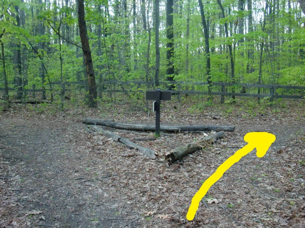 |
| Hang a right to stay on Fayetteville Trail. |
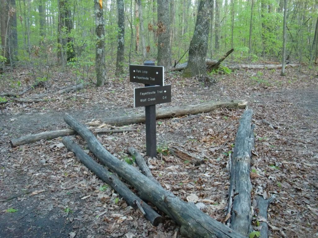 |
| A readable view of the sign. |
 |
| One rabbit trail in the Park Loop section led me here. |
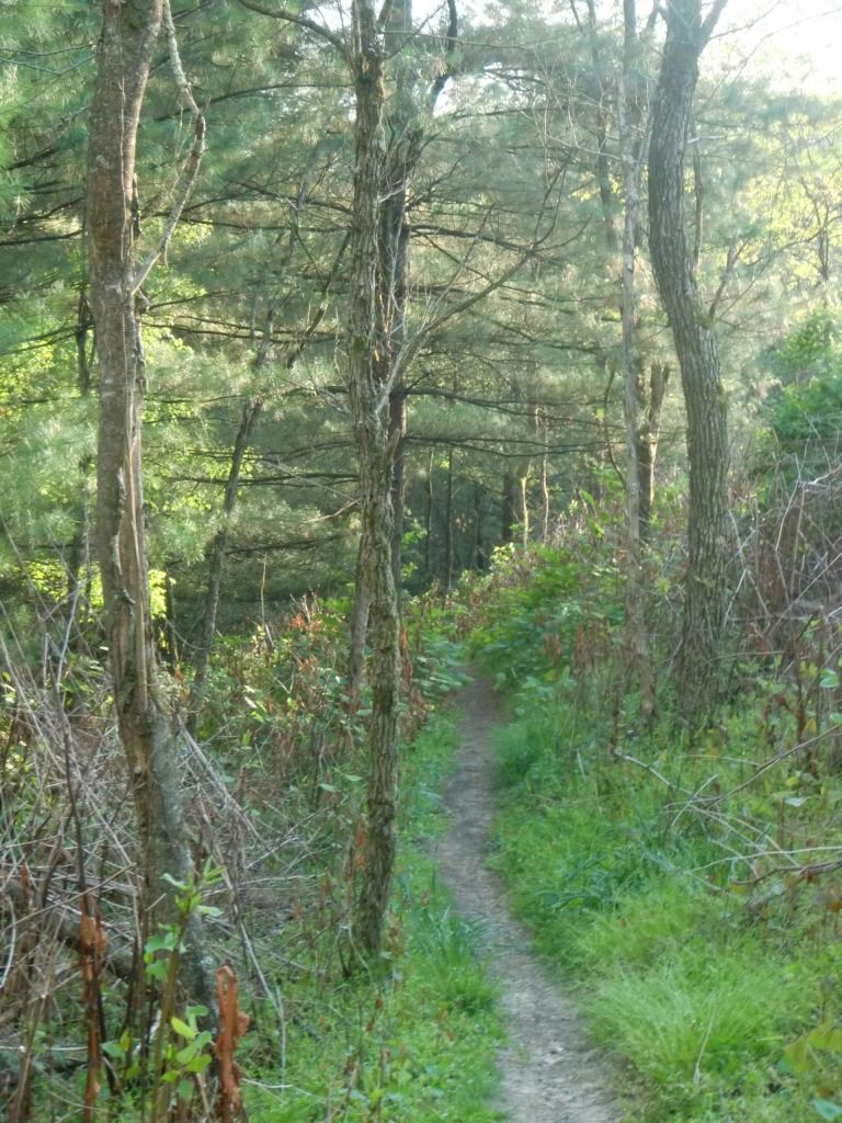
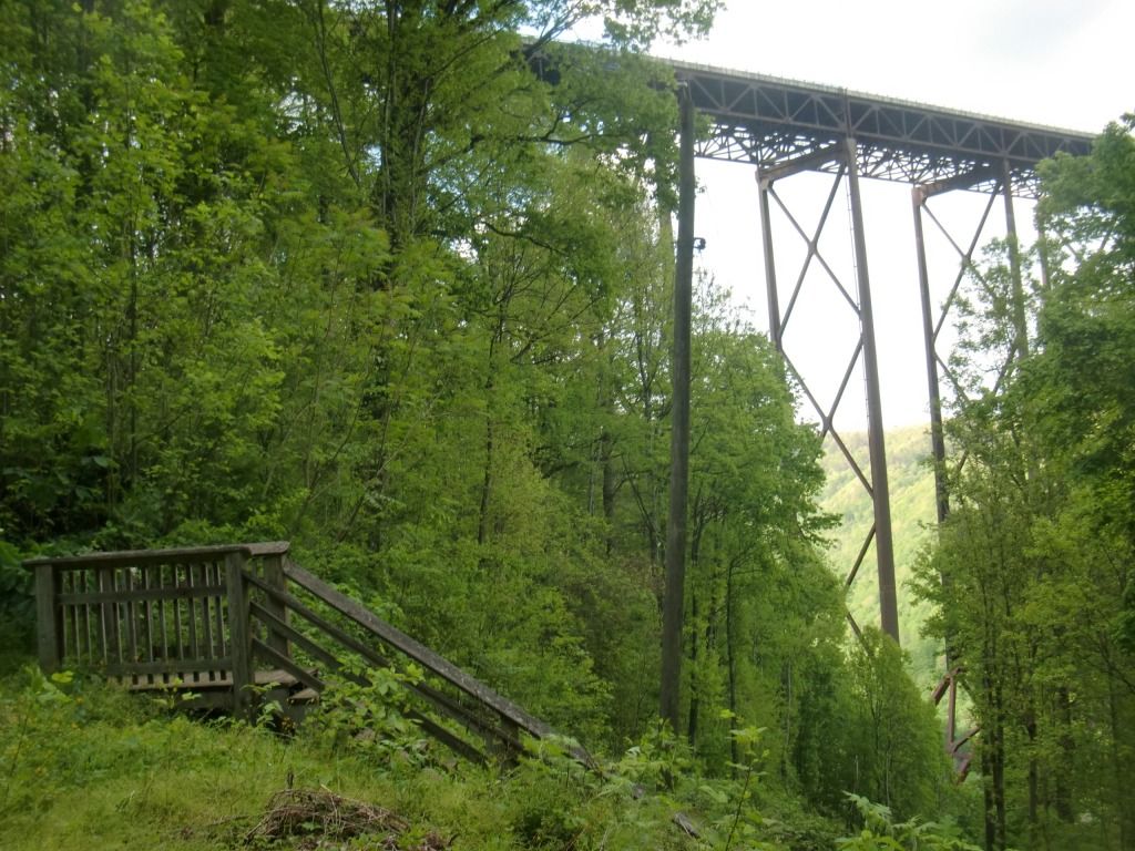
Now, if you've been going the way I've been describing, it's literally all downhill from here. The trail kinda goes back and forth with both its narrowness and amount/size of rocks, but the footing is generally very easy as far as I can remember. Make sure you take the right at the Bridge Trail connection and go down the stairs.
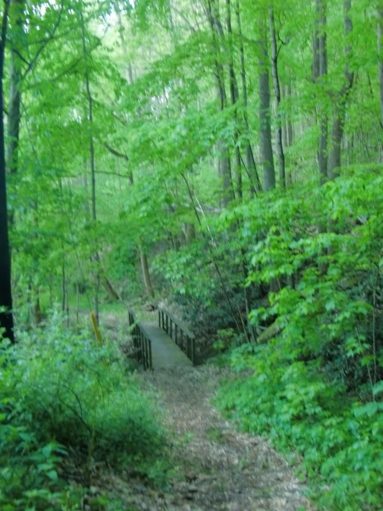
The rest of the trail should fly by, since you'll probably be going pretty fast down the side of the Gorge until you get dumped out onto Fayette Station Road.
 |
| Looking back up the trail from Fayette Station Rd. |
No comments:
Post a Comment